Reiteralm Alpine Loop
gemiddeld Hiking · Schladming
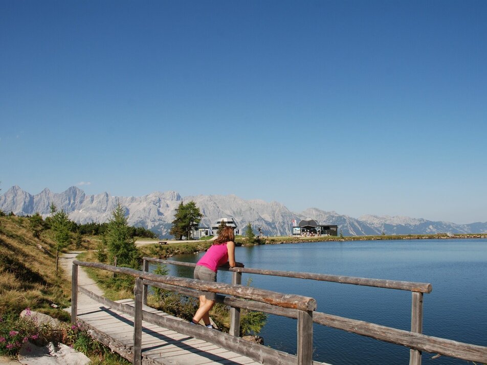
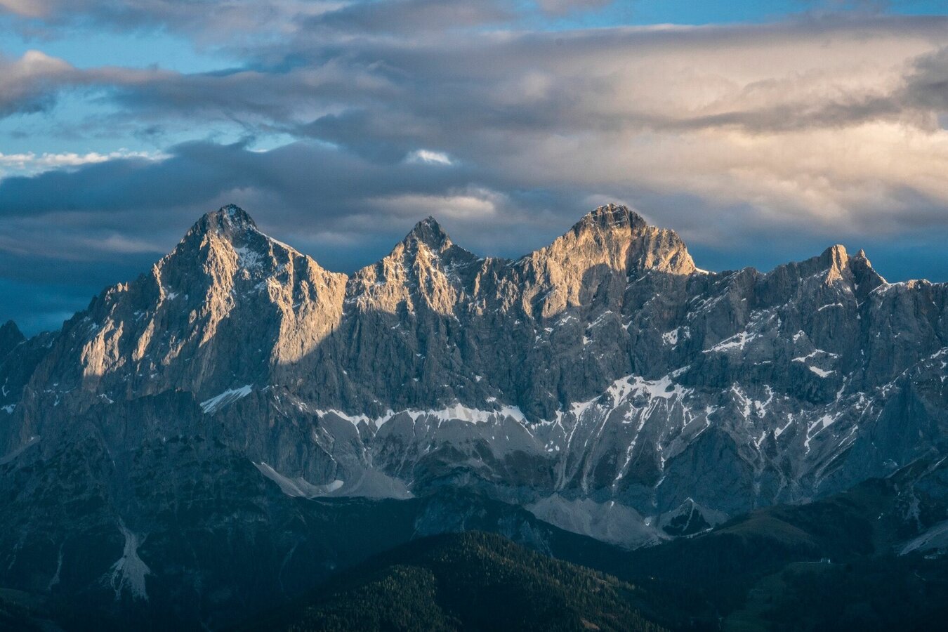
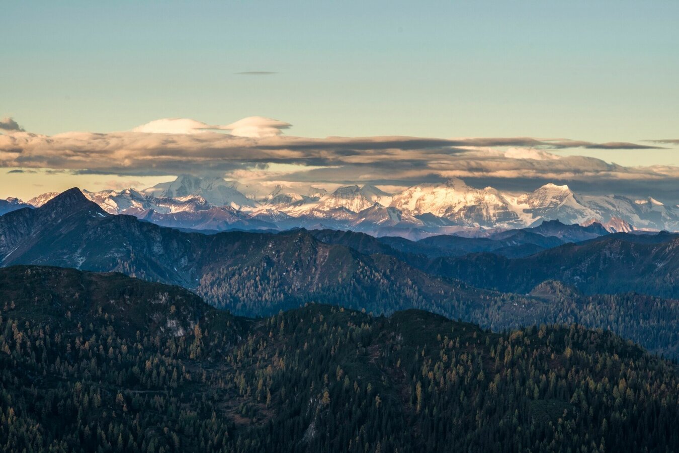
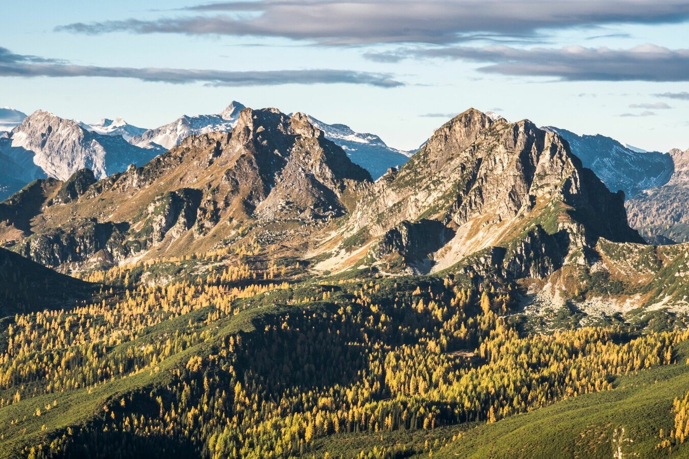
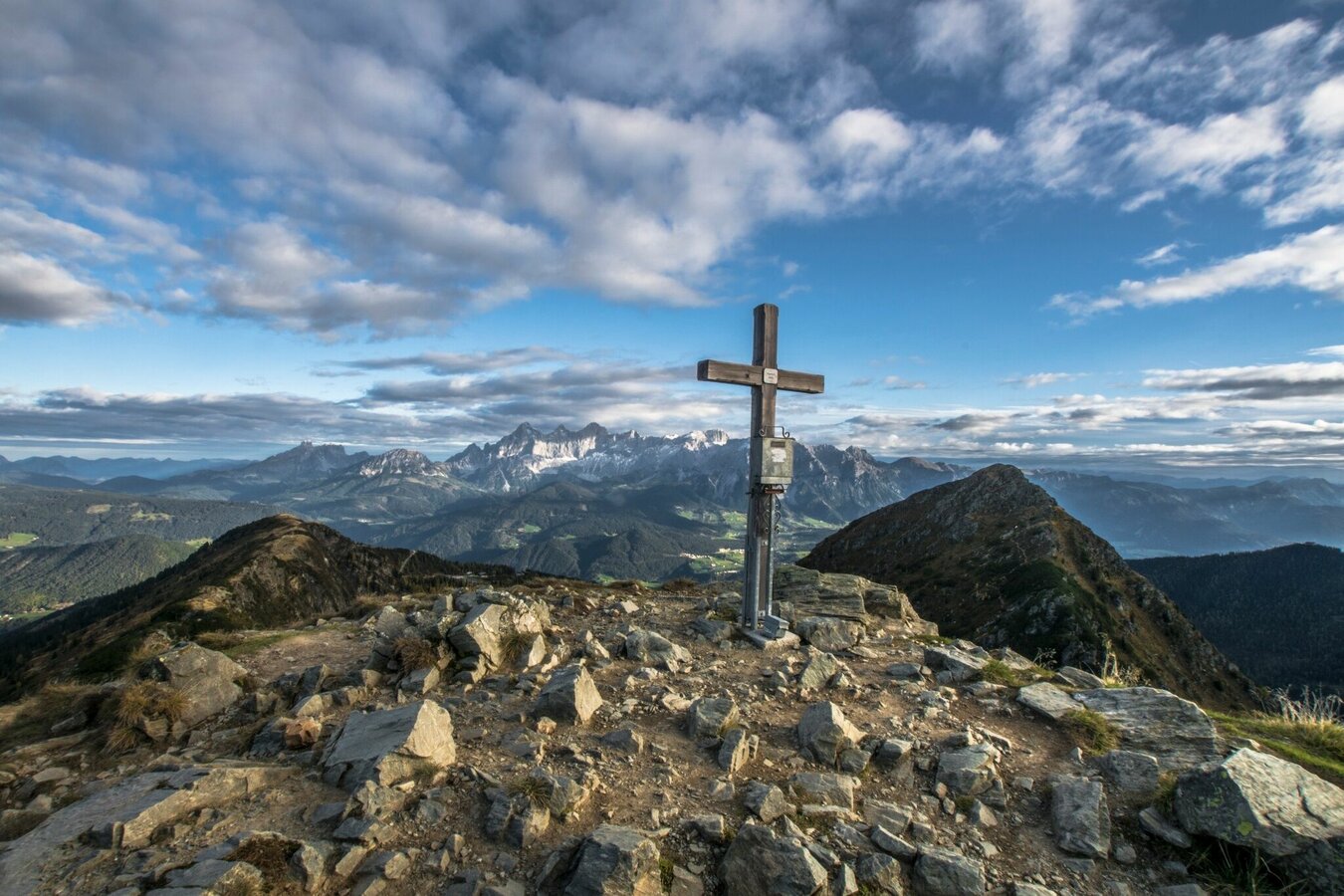
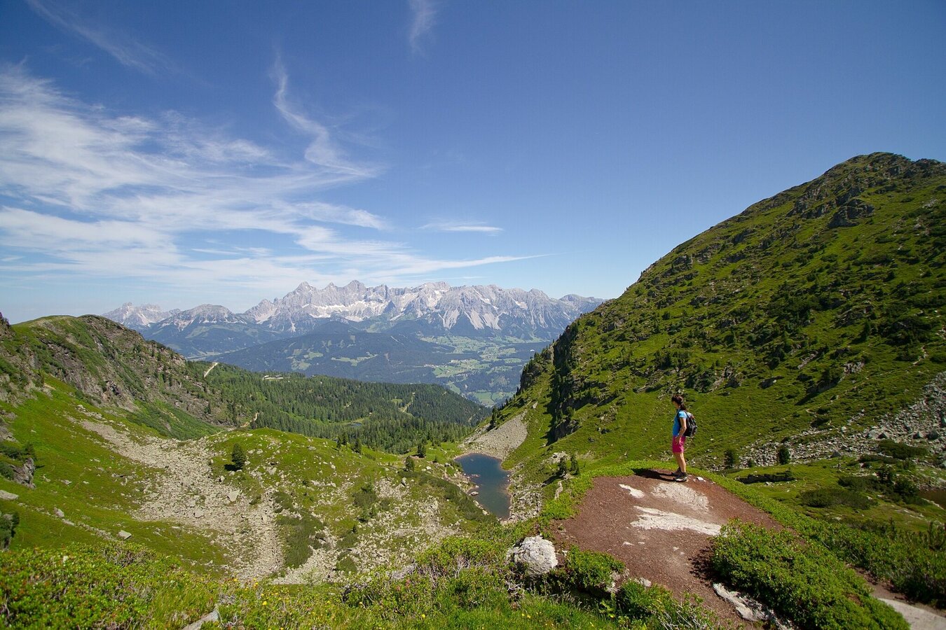
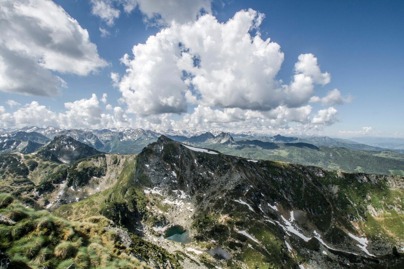
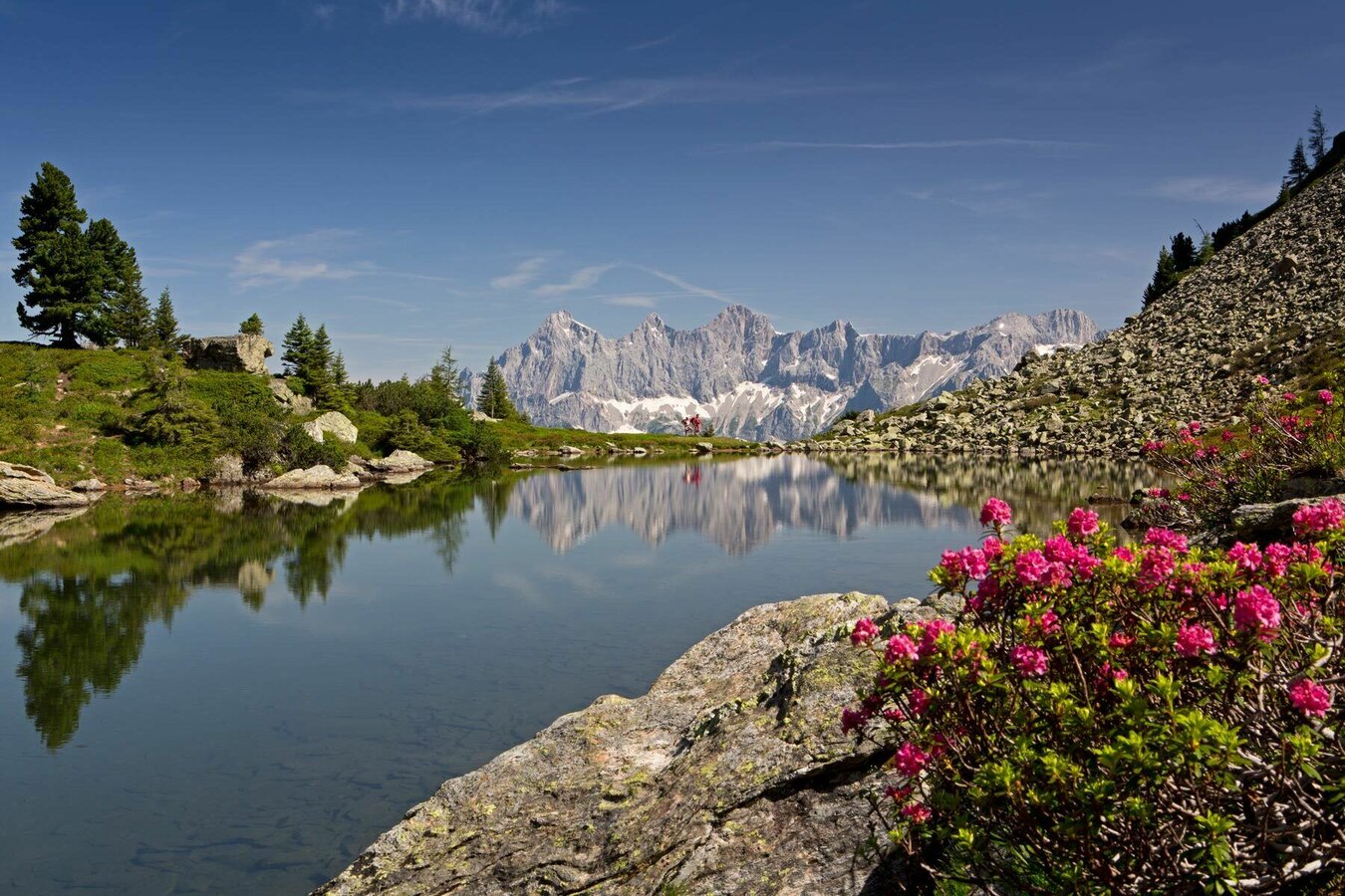
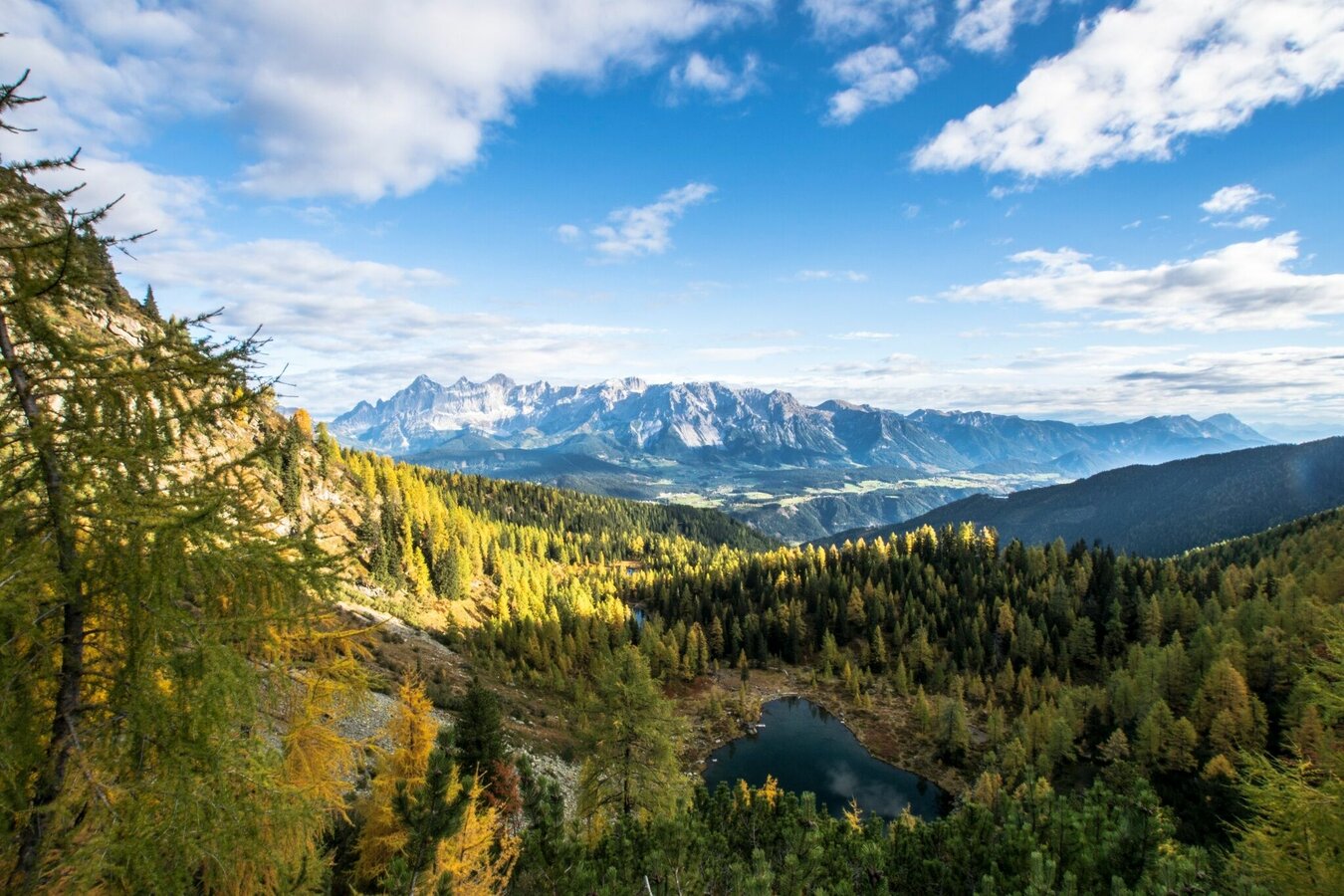
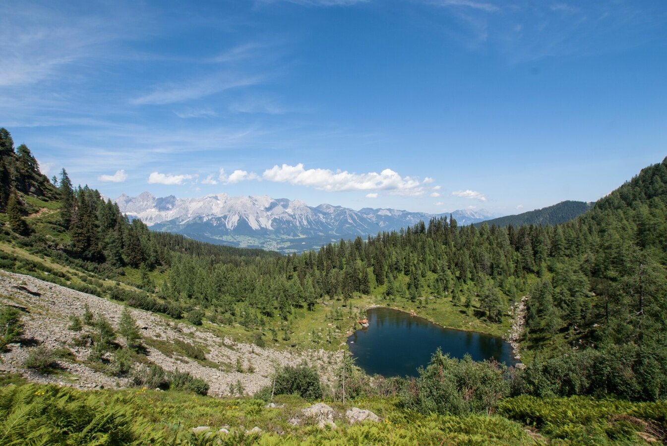
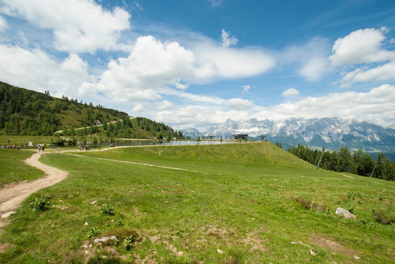
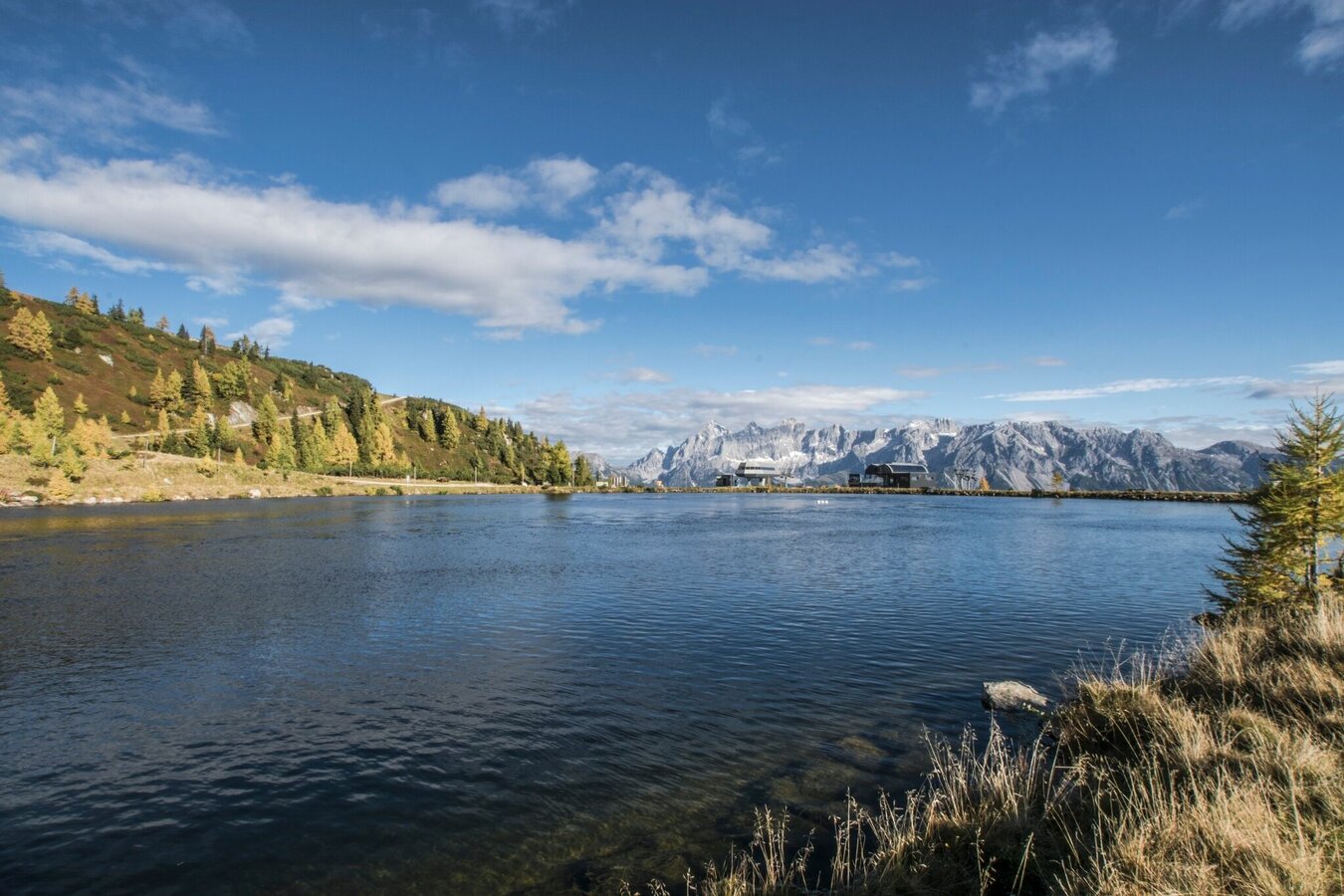
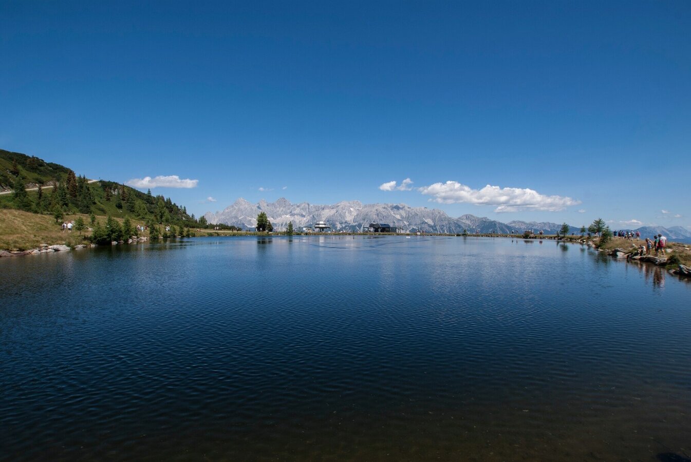
On this tour you will pass by the popular "Mirror Lake" (Spiegelsee) and with a little luck, the winds will be calm and you will be treated to a beautiful reflection of the Dachstein. Also you will encounter the small Obersee Lake on this tour, and moreover there are two summits (Gasselhöhe and Rippetegg) on the way as well. The high trail from the Rippetegg to the Gasslhöhe is beautiful and, with the exception of a few rocky passages with brief up- and downhills, almost flat. The panoramas extend from the Gosaukamm to the Dachstein, Grimming, Hohe and Niedere Tauern, and all the way to the Hochkönig.
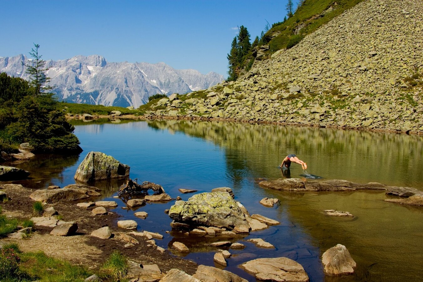
IMPORTANT NOTE: the Spiegelsee is a relatively shallow, small mountain lake in the vicinity of a fragile ecosystem. Please be considerate of nature and other nature lovers and do not go swimming in the lake!
Fotogalerij
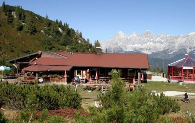
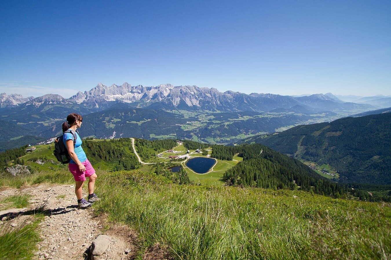
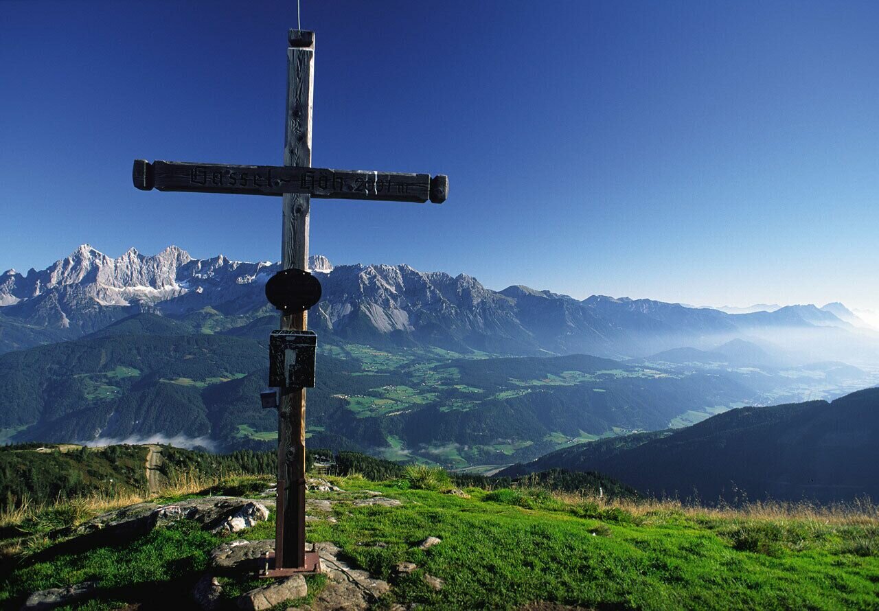
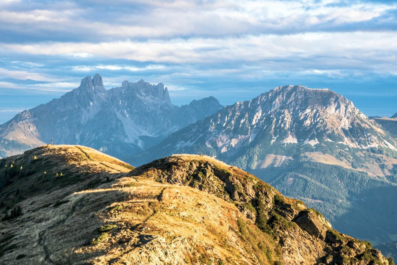
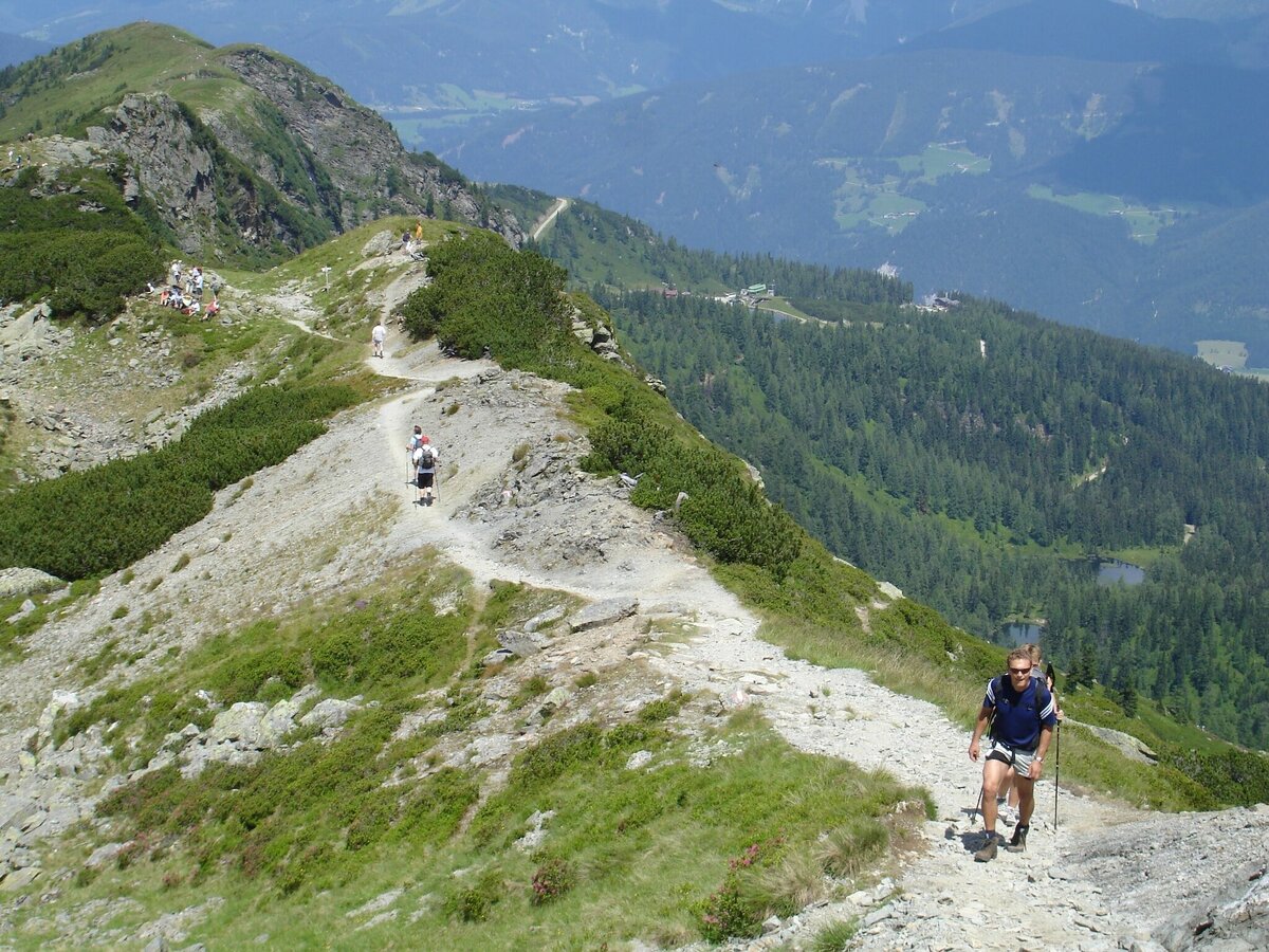
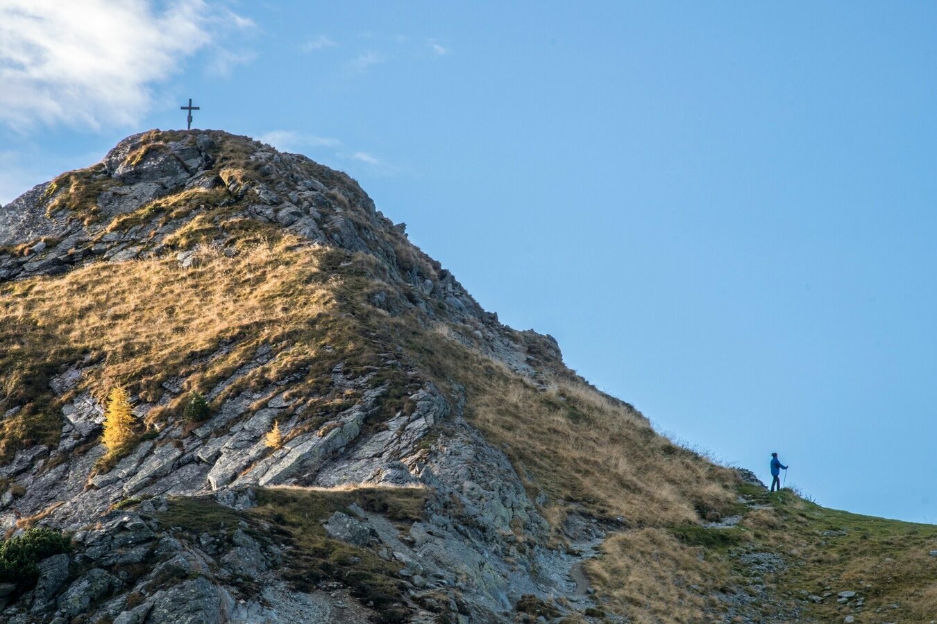
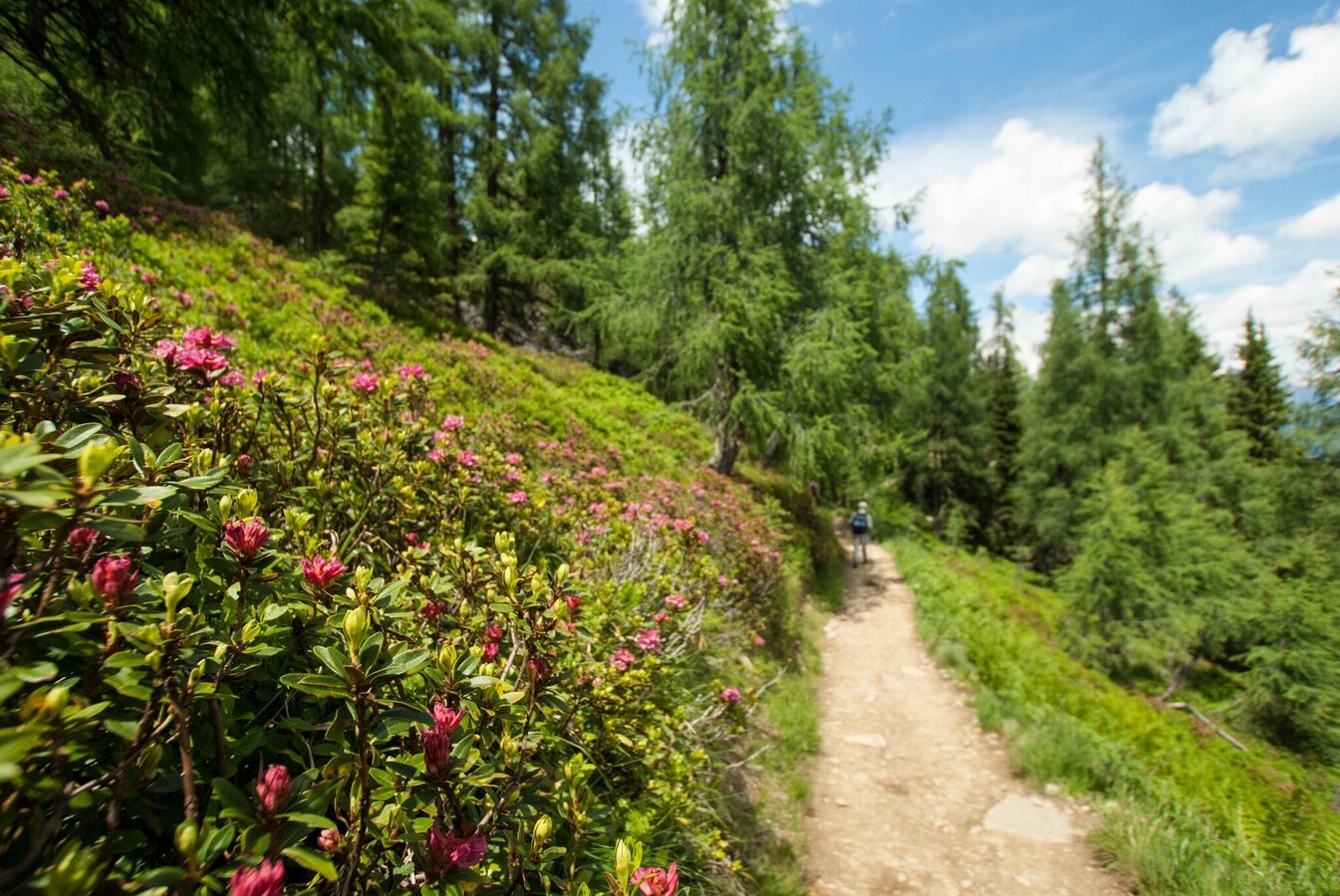
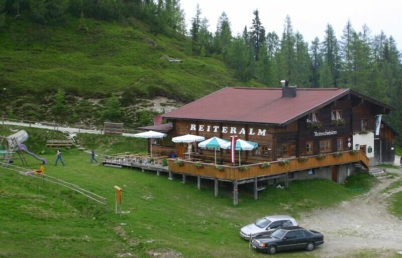


We start our hike at Gasselhöh'-Hütte on Reiteralm and hike up the trail n° 66 to the ridge that leads us to the summit of Gasselhöhe (2,001 m). From there the trail gets easier at first with just slight ups and downs leading us towards Rippetegg. The final ascent takes to the summit of Rippetegg (2126 meters) takes us about 15 minutes.
From there we take the same way back at first and then turn off right to descend - quite steeply - to the Gasselseen Lakes. At first we reach the Obere Gasselsee where the terrain gets easier again. In a couple of minutes we further hike down to the Mittlerer Gasselsee - the infamous "Spiegelsee Lake" (Mirror Lake).
From there a broad trail leads us back to our starting point at the Reiteralmsee reservoir
Variant via Untersee Lake
About halfway from Spiegelsee Lake you may turn-off towards Untersee Lake and walk back along the theme trail "Silent Waters" (it will take you an additional 30 to 40 minutes).
Approximately 4 km West of Schladming take exit Pichl from highway B320 Ennstalbundesstraße and continue on Preuneggstraße road towards Reiteralm. Taking a couple of switchbacks you reach the valley terminal of Preunegg-Jet gondola which operates also in summer (operating times at www.reiteralm.at).
Otherwise continue on Reiteralmstraße road (toll road) to Eiskarhütte, Reiteralmhütte or Gasselhöh'-Hütte huts.
Ramsauer Verkehrsbetriebe offers a bus connection to the valley terminal of Preunegg-Jet gondola on Tuesday, Friday and Sunday.
- bus schedule at www.rvb.at
Changes in weather patterns, quick falls in temperature, thunderstorms, wind, fog and snow are some of the dangers that can be encountered on a hiking tour. Hosts of alpine huts and mountain refuges have a lot of experience in the mountains and can give good advice about weather and the trails. Poor equipment, overestimation of one's own capabilities, carelessness, poor personal constitution and/or wrong judgement can lead to critical situations. In case of thunderstorms: avoid summits, ridges and steel ropes.
GPS data and orienteering
Available GPS data - just like hiking maps - is only a guidance for orientation and can never depict a trail exactly with all its details. Especially at dangerous spots it is essential to judge on site how to proceed.
In an emergency please call:
- 140 - for Alpine emergencies (all over Austria)
- 112 - European GSM emergency number
Info about buses and ski lifts: www.planaibus.at or www.reiteralm.at
- Hiking map Schladming, 1:25.000, available at the tourist office Schladming.
- Hiking map Schladming-Dachstein, 1:50.000, available at the tourist office Schladming.
- Wanderführer Schladming-Dachstein von Herbert Raffalt, erhältlich im Tourismusverband Schladming.


