Miners' Trail
Water hikes · Schladming
Miners' trail starts in the center of Rohrmoos (or the village of Untertal respectively) and leads you along the Obertal valley to Hopfriesen, where the ruins of a historic nickel smelting furnace are nowadays adapted as the "Nickel Museum", in which you can take guided tours on Wednesday and Friday mornings.
Fotogalerij
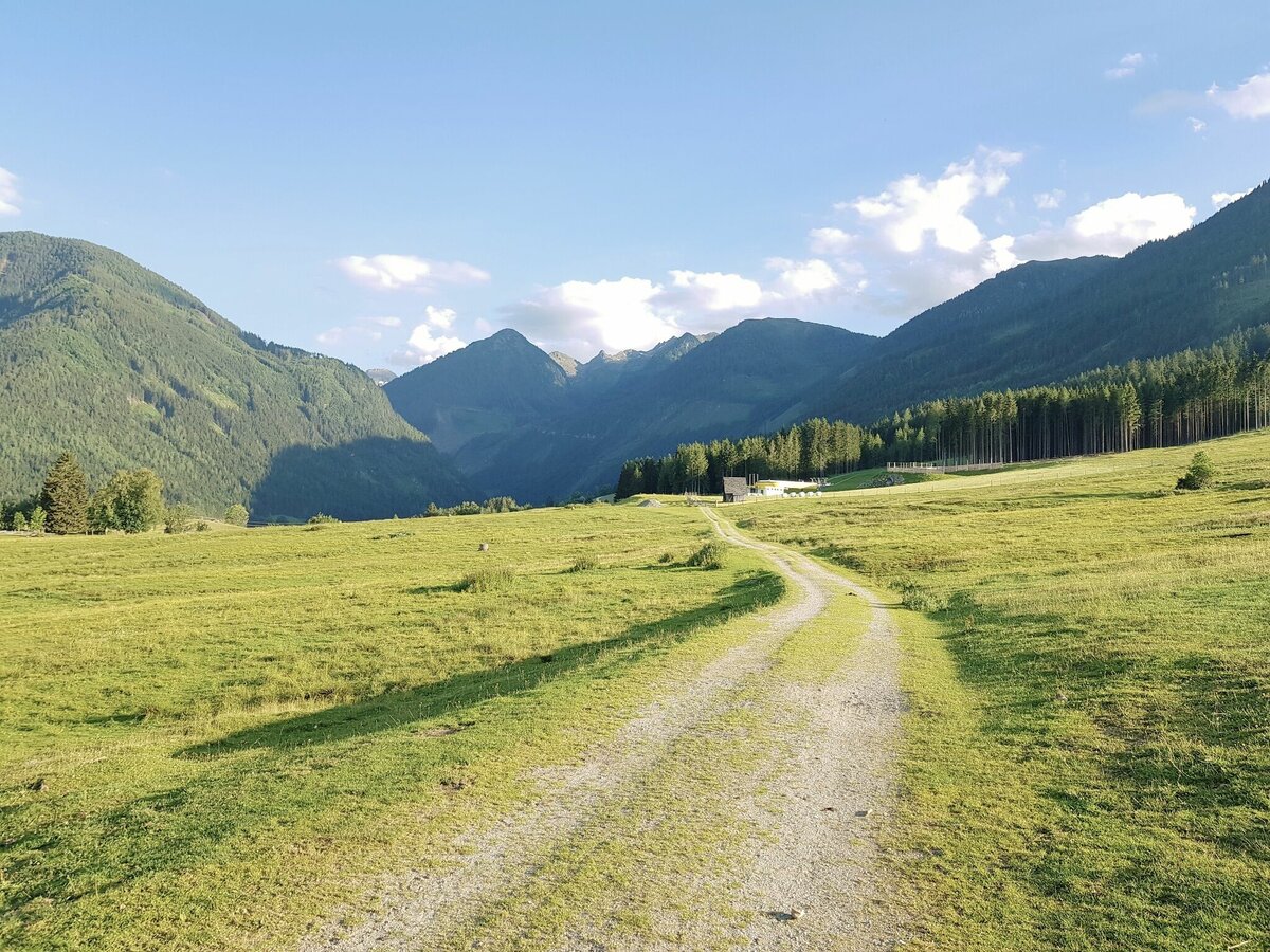
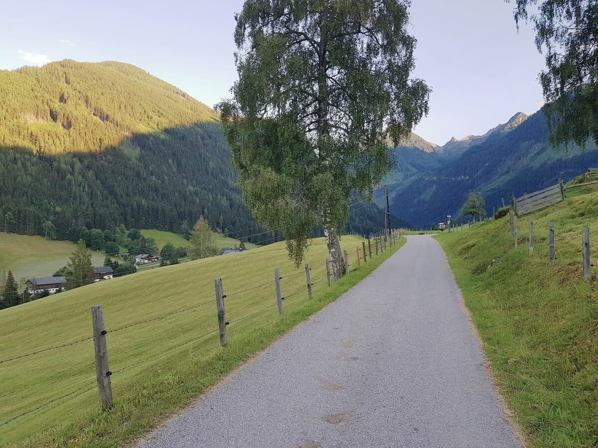
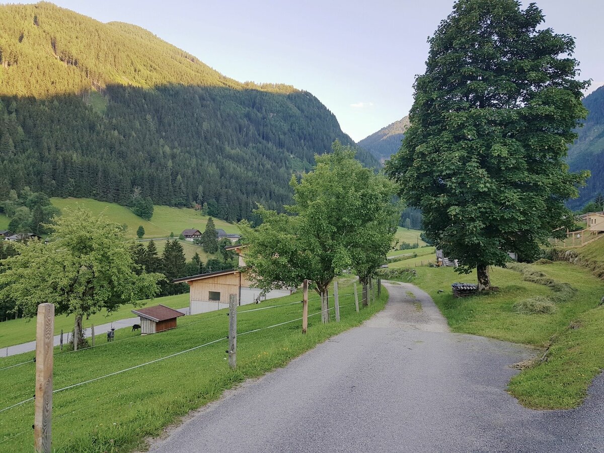
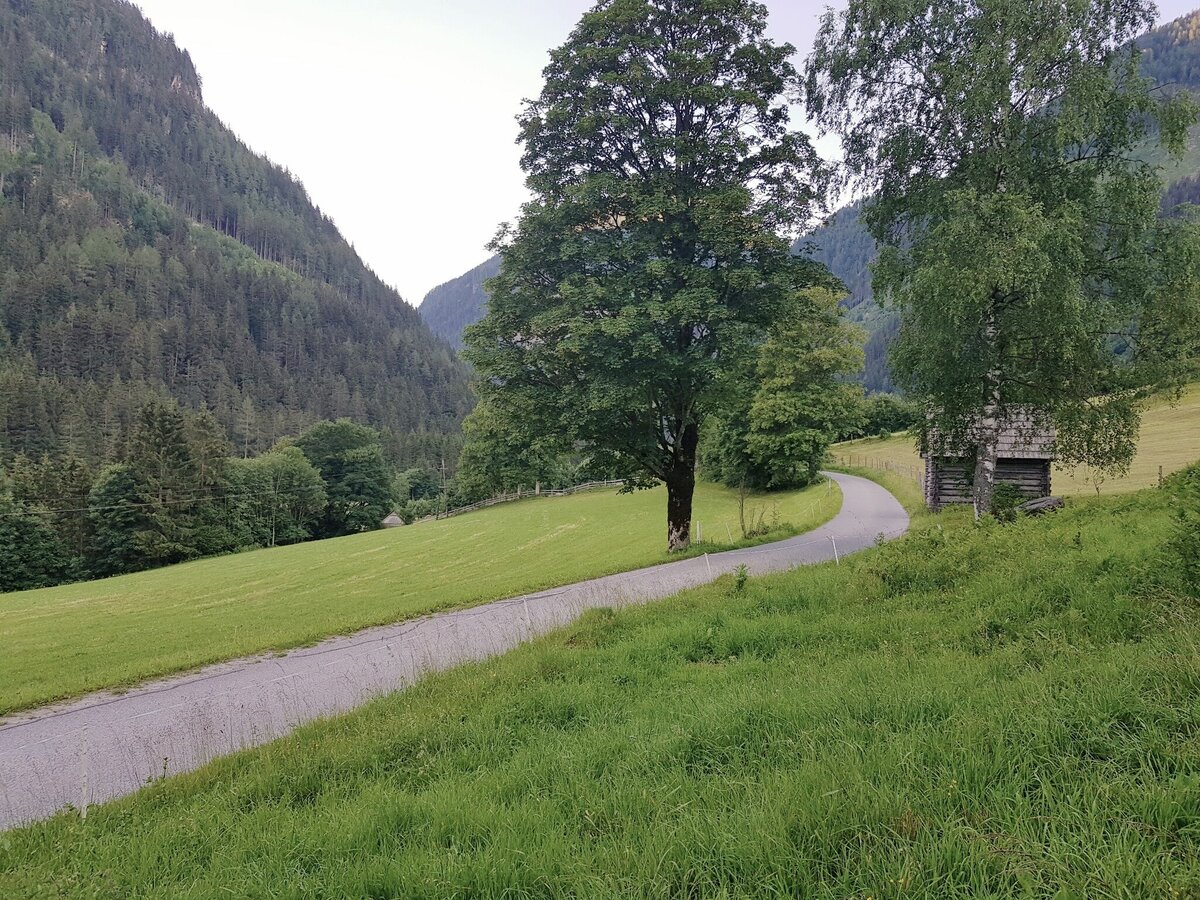
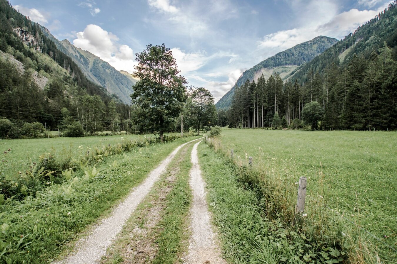
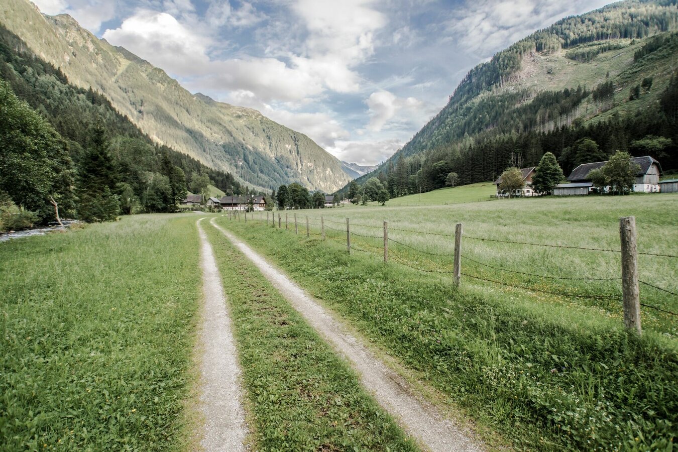
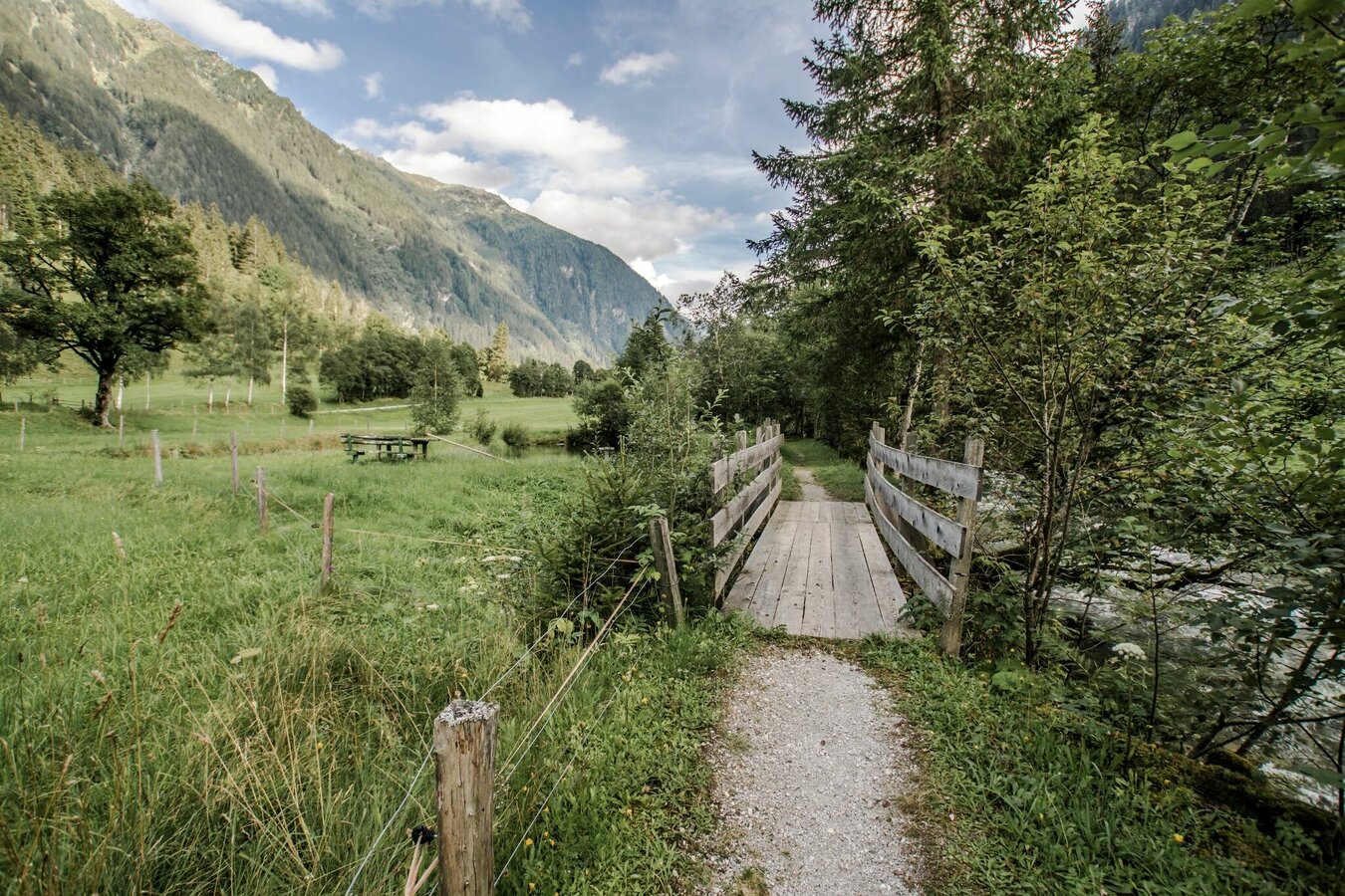
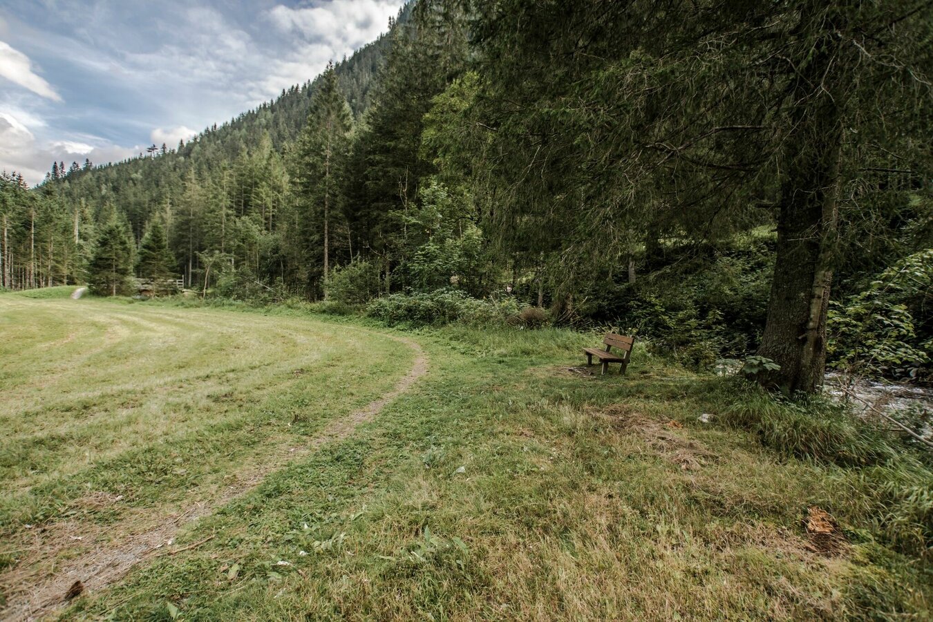
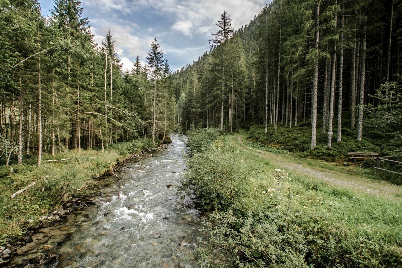
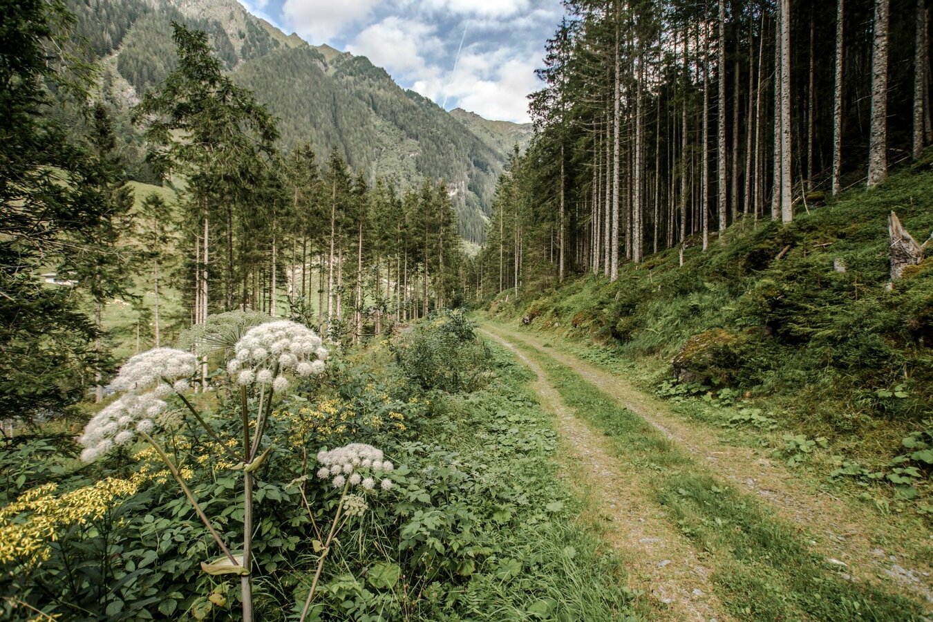
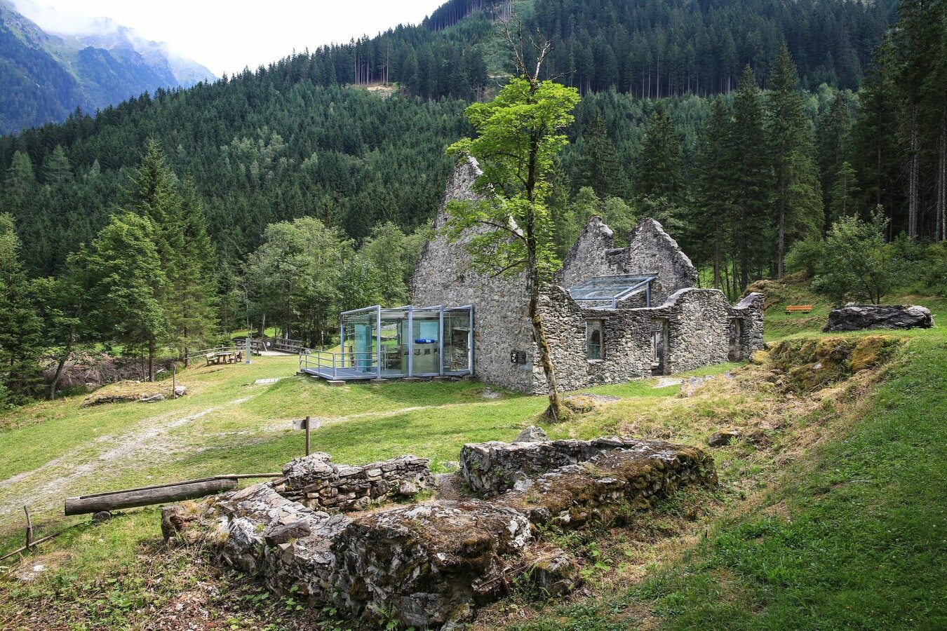
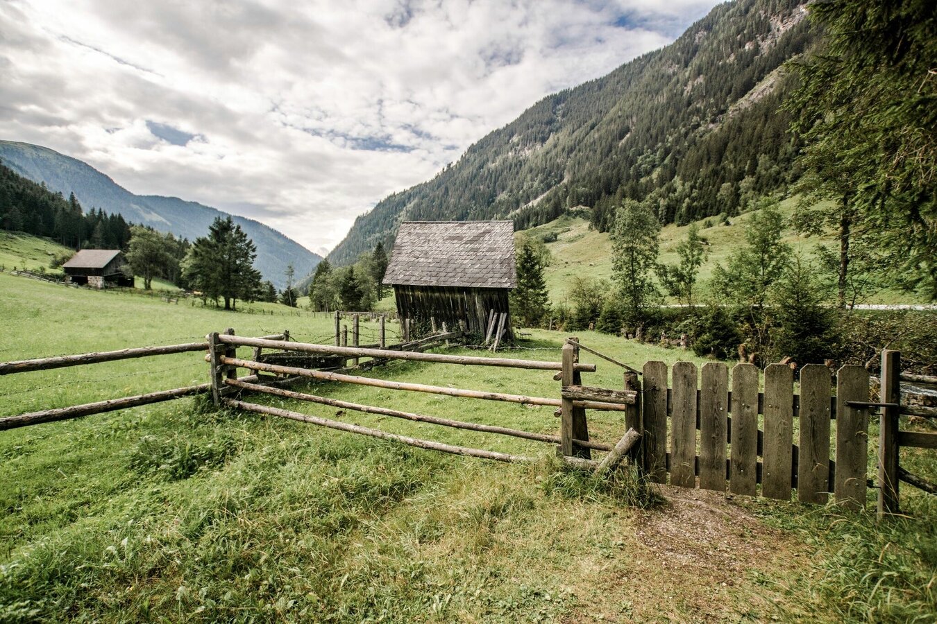
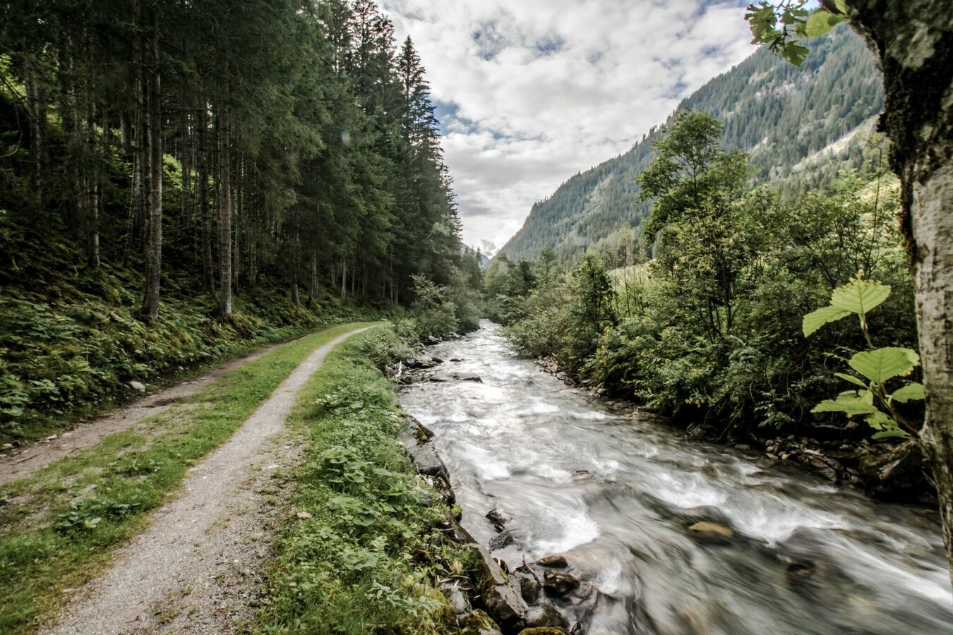
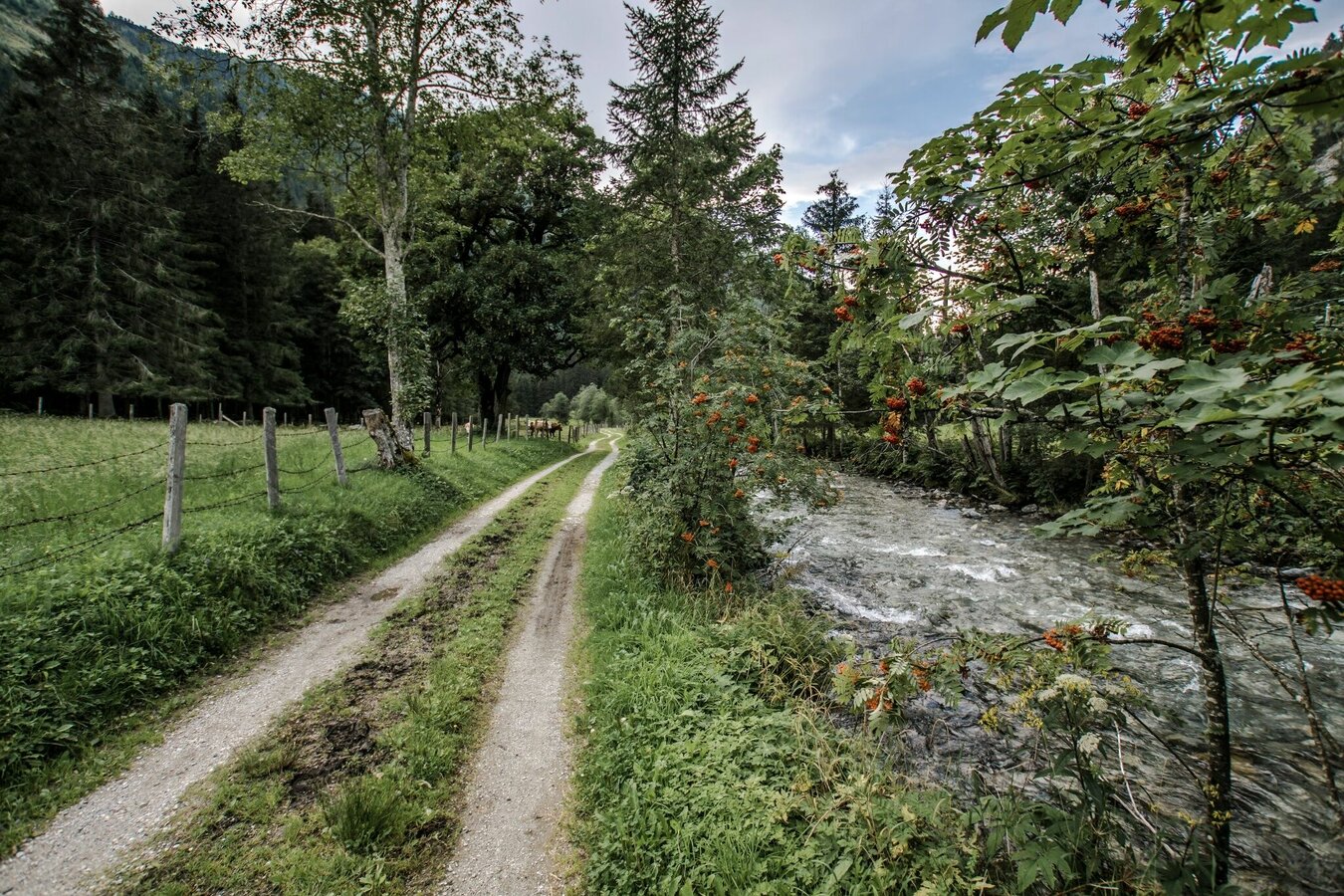
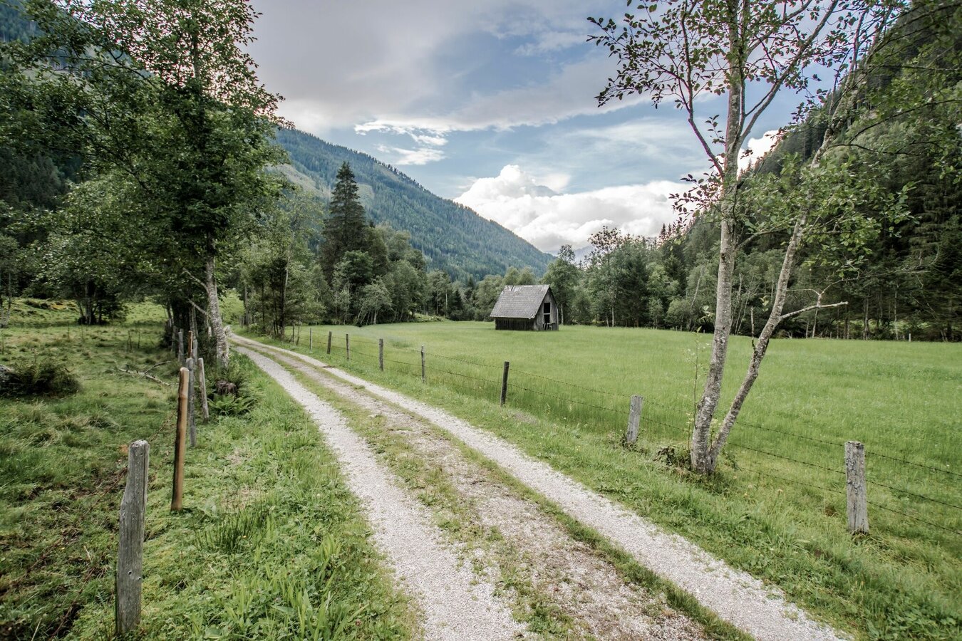
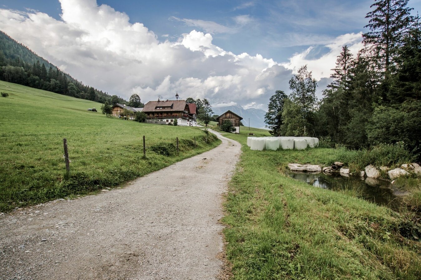
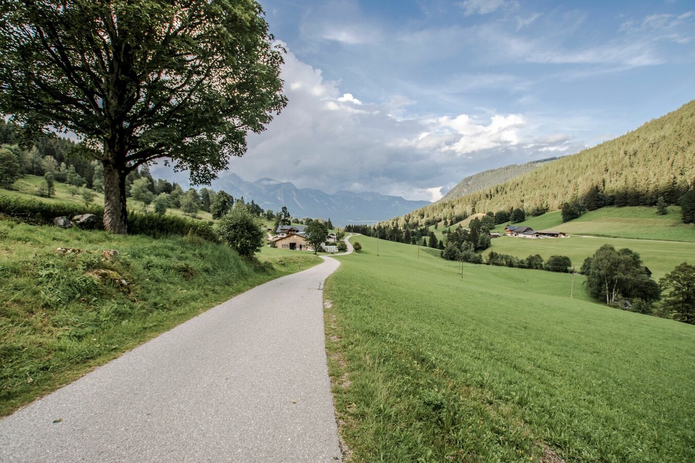
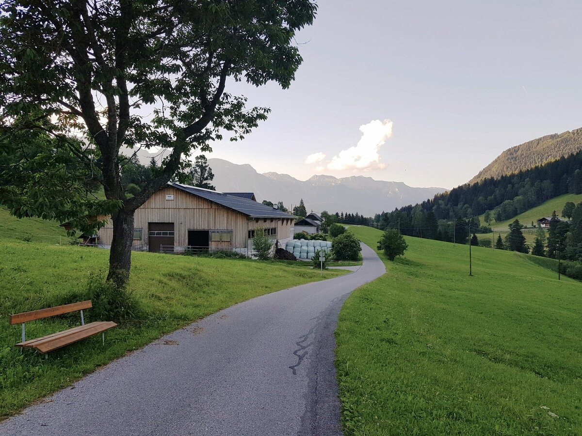
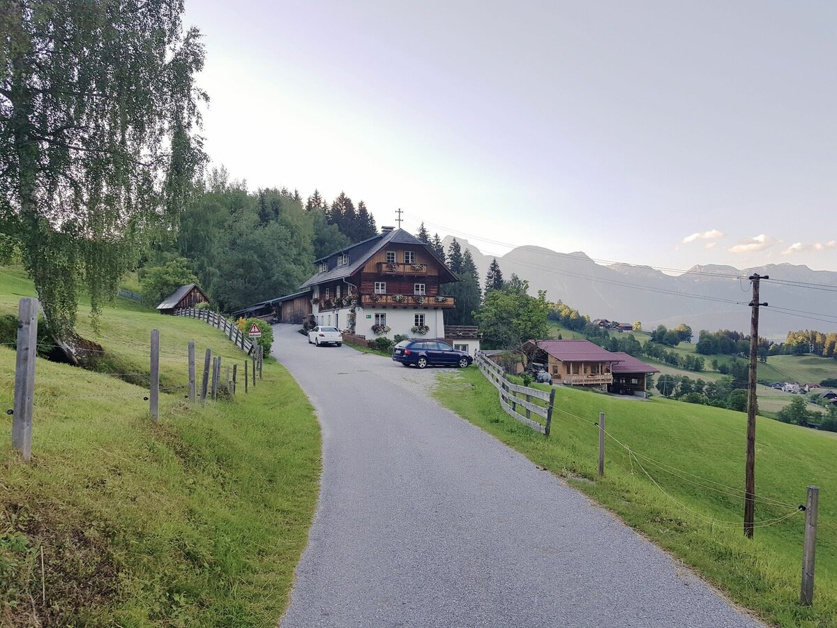


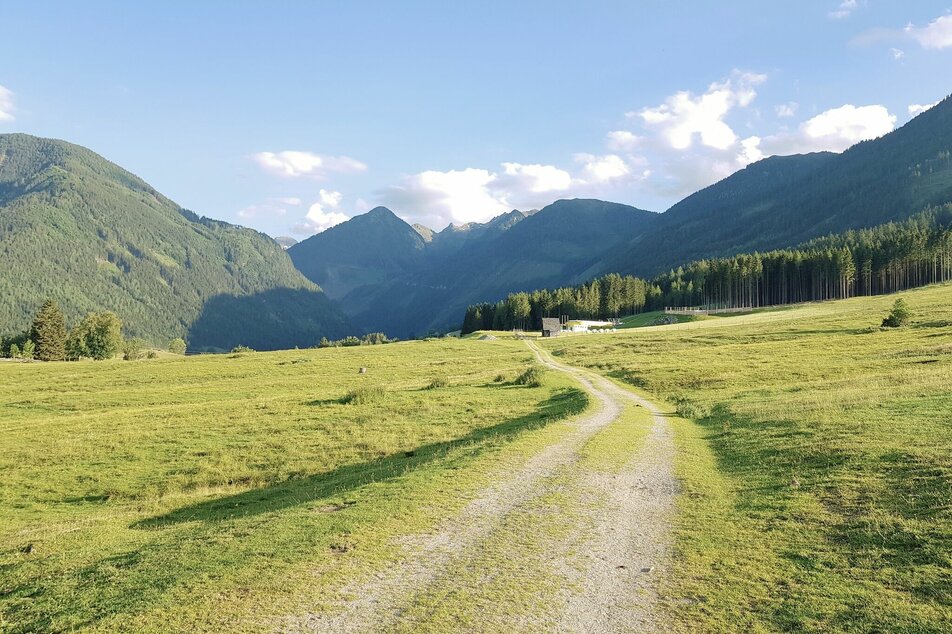
From the hiking trail head in the village of Rohrmoos (opposite of hotel Erlebniswelt) you walk up Rohrmoosstraße along the sidewalk for about 300 m towards Hochwurzen. Then you make a left and walk up to Schussbühel and across the meadows of Rohrmoser Frei into Obertal. The Dachstein massif behind you, the Schladminger Tauern mountains ahead, where miners used to dig for silver and nickel. Passing by Hocheggerhof you follow the Obertalbach creek into the valley. For refreshment just stretch your legs into the cold waters :) At Wehrhofalm you cross over the bridge and continue on to the Nickel Museum in Hopfriesen. This former smelting furnace gives you insights into the life of miners back then. From the museum back to just after the signposted forest road fork. Immediately turn right onto the hiking trail down to Obertalstrasse and follow it into the valley to the Hopfriesen bus stop. From here - and other stops along the entire route - you can take the hiking bus back to the villages of Untertal and Rohrmoos and to Schladming.
Alternative trail head Untertal village
From the hiking trail head pass by the elementary school in Untertal and hike up to Ahornweg road. Passing some beautiful farms you hike into the Obertal valley. Once you reach Hocheggerhof farm follow the directions above.
Alternative „Small Miners's Trail“ (walking time approximately 1.5 hours)
In the beginning the same as Miner's Trail. Approximately 400 m after Royer farm make a right onto the forestry road and hike up to the 6th hairpin where you make a right onto the forest trail. Passing by the Schlapfer farm you reach the "Mushroom Town" of the Mushroom Trail Rohrmoos and via a forestry road head back to the meadows of Rohrmooser Frei. From there you descend back to Schussbühel and the starting point.
- Buses of Planai-Hochwurzen-Bahnen: www.planaibus.at
Changes in weather patterns, quick falls in temperature, thunderstorms, wind, fog and snow are some of the dangers that can be encountered on a hiking tour. Hosts of alpine huts and mountain refuges have a lot of experience in the mountains and can give good advice about weather and the trails. Poor equipment, overestimation of one's own capabilities, carelessness, poor personal constitution and/or wrong judgement can lead to critical situations. In case of thunderstorms: avoid summits, ridges and steel ropes.
GPS data and orienteering
Available GPS data - just like hiking maps - is only a guidance for orientation and can never depict a trail exactly with all its details. Especially at dangerous spots it is essential to judge on site how to proceed.
In an emergency please call:
- 140 - for Alpine emergencies (all over Austria)
- 112 - European GSM emergency number
A well-packed backpack is helpful and especially when touring Alpine terrain a tuque, gloves, a windproof jacket and pants are standard equipment. Good, waterproof shoes, sun glasses, sun cream and sufficient beverages are essential too. Torch light, a map of the area, knie and a small first-aid kit should also be in the backpack.
Join a guided mine hike
If you register in advance, you have the opportunity to take part in a guided tour of the “Bromriesenstollen” mine, which is close to the tour. Further information about the Nickel Museum and mine tours is available at the tourist office in Schladming or at www.wildewasser.com.
Refreshment stop
The closests inn is the Eschachhütt'n Inn in Eschachalm (approximately 2 kms into the valley along the dirt road).
Tourist information: www.schladming.com
Information about bus schedules: www.planaibus.at
Schladming-Dachstein WEST summer experience map, available at the region’s information offices.


