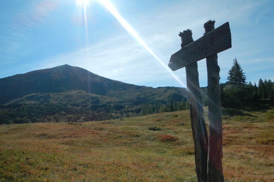
Gumpeneck (2.226 m)
gemiddeld Summit tours · Naturpark Sölktäler
Fotogalerij
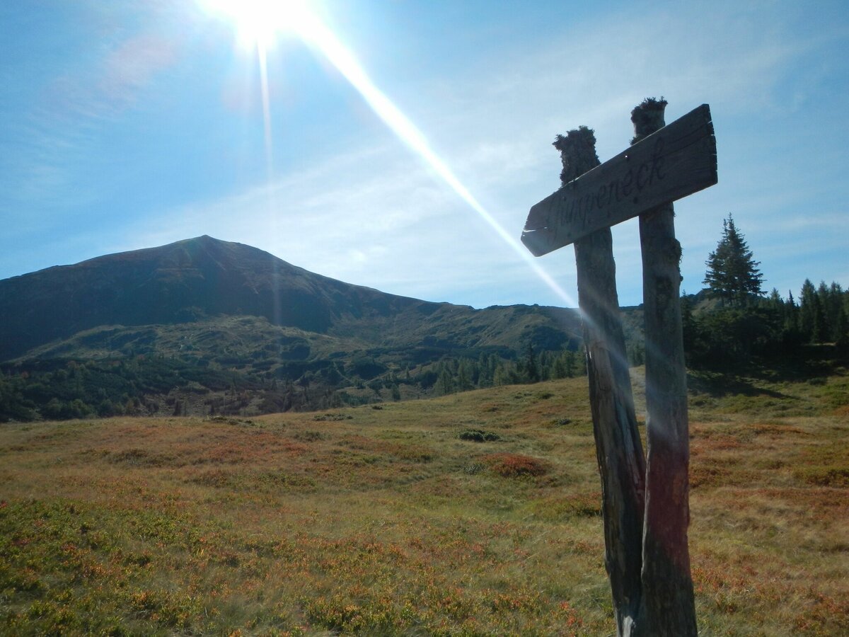
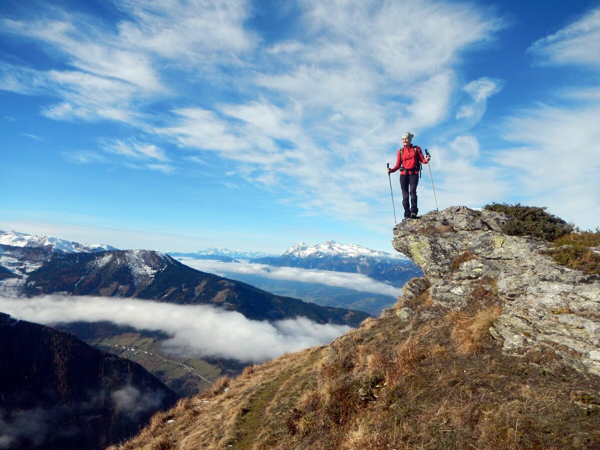
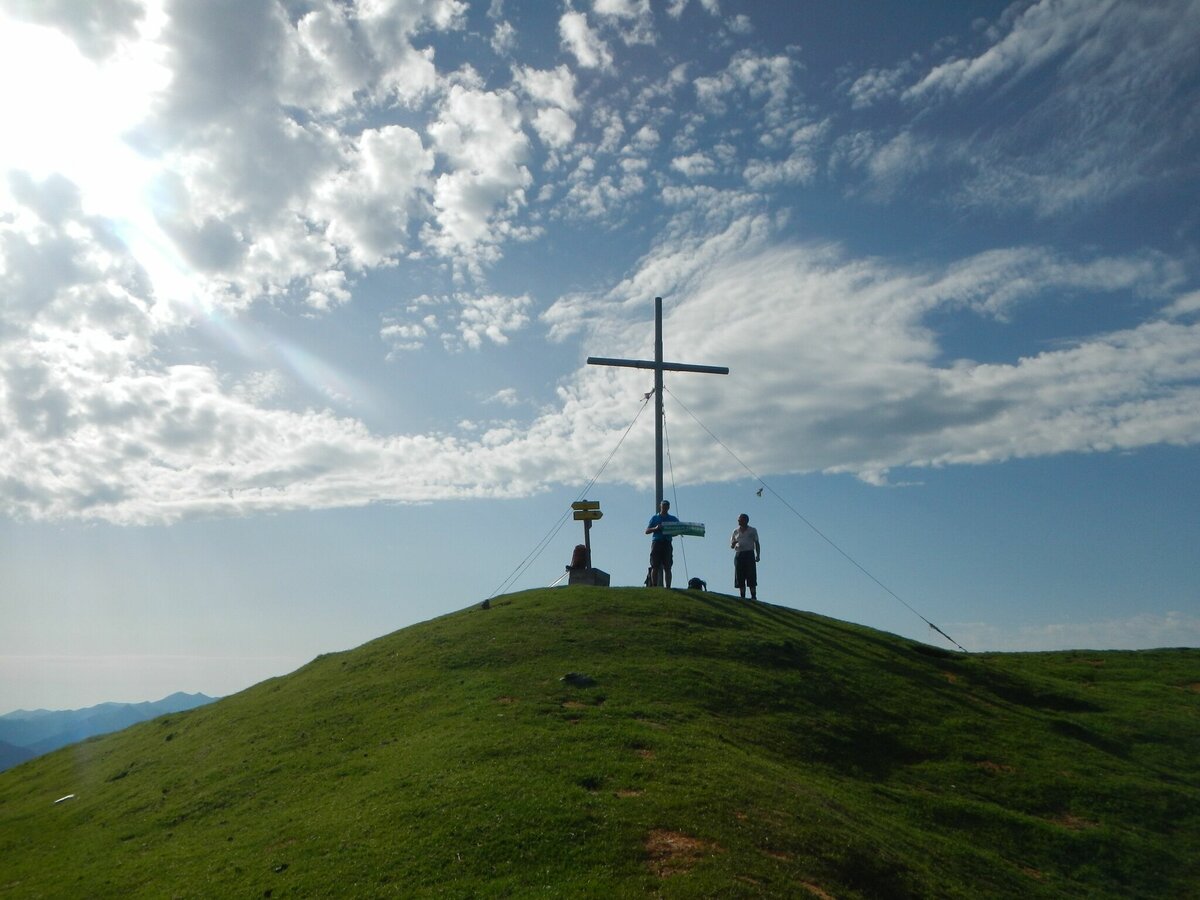


Starting point for this hike is Großsölk - the estate "Koller". From there a beautiful forest path leads to the "Schönwetterhütte", which is open during the summer. A steep slope leads to the "Schleinhütte", a mountain pasture built of Sölk marble. The path continues through a large cirque with some frog pools. Over a long ridge one reaches the summit after approx. 3.5 hours of ascent. Via the same path we walk back to the farm Koller.
Alternatively, after the Schleinhütte, you can keep right and climb up Blockfeldspitz to Gumpeneck.
Tour at your own risk! No liability will be accepted for any given or occurring alpine driving (weather, etc.).
The current weather forecast should be checked before every hike. Helpful information about the weather and the region can often be obtained from local people involved in tourism.
Mountain sports and the assessment of the situation on site are above all the responsibility of the individual. A prerequisite for a hike into the high mountains is sure-footedness and appropriate physical condition. Tourism associations accept no liability on the basis of information provided.
For activities in the mountains we recommend sturdy shoes and rain protection. You should not forget enough drinks and perhaps a snack. For the orientation in the terrain a suitable hiking map should be carried along. In the nature park house you can buy these for 1 €.Further information can be obtained from the nature park office:
Phone: +43 3685 20903
naturpark@soelktaeler.at
Stein an der Enns 107
8961 Sölk
Office hours:
Monday to Friday: 08:30-12.00 o'clock and 13.00-15:30 o'clock


