Höhenweg Fleiß
łatwe · Naturpark Sölktäler
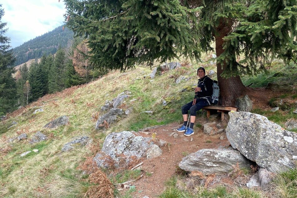
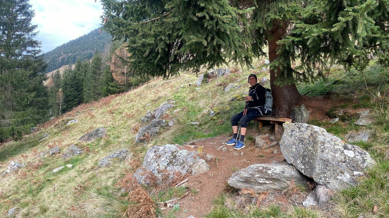
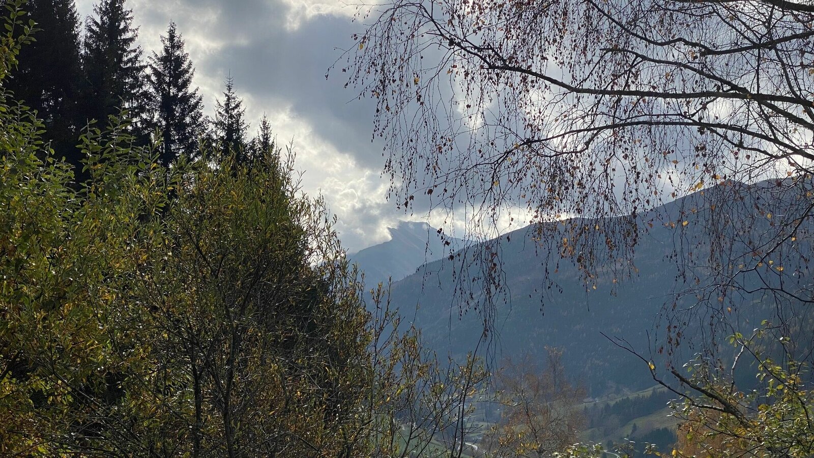
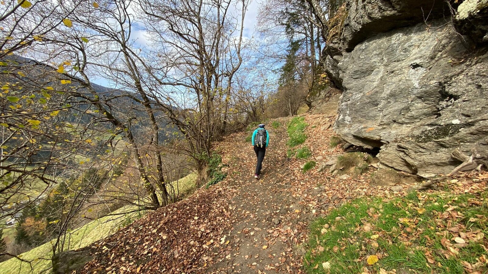
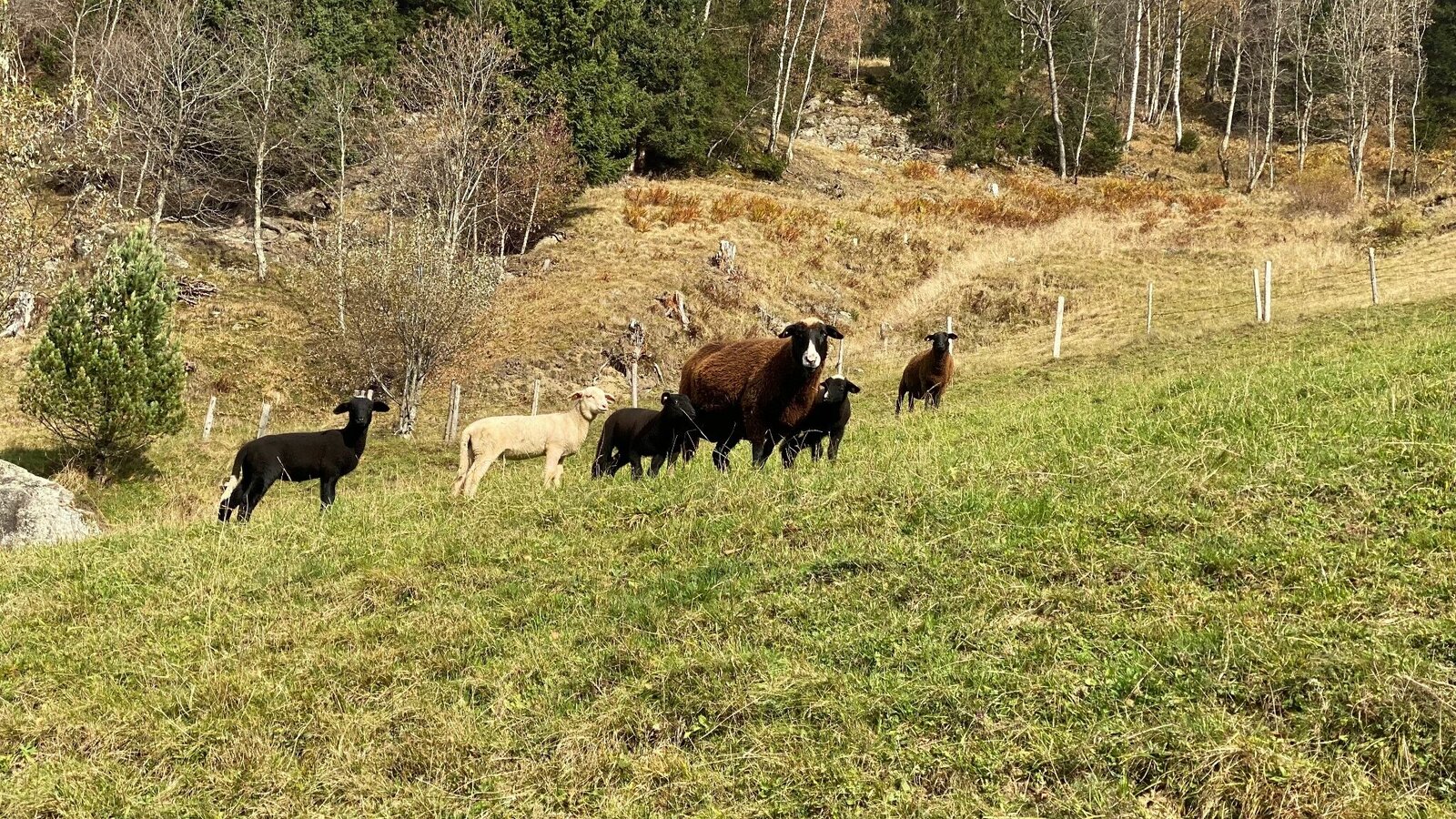
This hike leads us on the sunny side of the valley through often light sections, which provide a view of the Great Sölktal.
Galeria obrazów


Arrived at the inn "Ödwirt" you cross the main road and follow the directional arrows "Höhenweg Fleiß" to the farm Oberlanger - DT Adventure. Then you pass the farmsteads Rainer, Spießschweiger and finally Hanslebner before you arrive at the main road and walk along the sidewalk back to the starting point.
TIP: From the Rainer homestead the road leads directly into the valley and a shortcut of the hike is possible.
From the Ennstalstraße B320 turn off at Pruggern (from the west) or Espang (from the east) in the direction of the Sölktäler Nature Park.
From Stein a.d. Enns turn into the Großsölktal in the direction of Sölkpass. From here about 10 km to the inn "Ödwirt" in Fleiß.
The valley bus makes crossings in the Sölktäler Nature Park possible on weekdays. You can also arrive comfortably by train to Stein an der Enns and the Tälerbus will take you to your accommodation or the starting point of your hike. This bus runs on weekdays during the Styrian summer vacations. All information about the departure times can be found here.
Weather changes, rapid drop in temperature, thunderstorms, wind, fog and snow fields are objective dangers and require the right behavior on the way.
GPS data and orientation aids
Available GPS data are - like hiking maps - only an orientation aid, since they can never represent an exact image or the richness of detail of a path in reality. Especially in the case of danger spots, it must therefore always be decided in the end on the basis of the conditions on the spot whether and how the further course of the path looks like.
In case of emergency, please dial the following emergency numbers:
140 - for alpine emergencies - Austria-wideNo.
112 - Euro emergency call GSM emergency call service
Weather changes, rapid drop in temperature, thunderstorms, wind, fog and snow fields are objective dangers and require the right behavior on the way.
GPS data and orientation aidsAvailable GPS data are - like hiking maps - only an orientation aid, since they can never represent an exact image or the richness of detail of a path in reality. Especially in the case of danger spots, it must therefore always be decided in the end on the basis of the conditions on the spot whether and how the further course of the path looks like.
In case of emergency, please dial the following emergency numbers: 140 - for alpine emergencies - Austria-wideNo. 112 - Euro emergency call GSM emergency call service
Take rainproof and warm clothes and enough water, possibly also a snack, wear shoes with non-slip profile soles. A first aid kit should also be in your backpack.
SummitLynx- Your digital summit and hut book - available worldwide and always with you!
More information is available at the Tourist Office Schladming Dachstein - Info Office Nature Park Sölktäler:
Telefon: +43 3687 23310 501 naturpark@soelktaeler.com Stein an der Enns 107, 8961 Sölk
Hole Dir im Naturparkbüro Sölktäler die Gratis-Wanderkarte Gröbminger Land / Naturpark Sölktäler im Maßstab 1:40 000 mit genauen Tourenbeschreibungen auf der Rückseite.


