Via the Kaltenbachseen to the Deneck
gemiddeld Hiking · Naturpark Sölktäler
Actuele omstandigheden
Vastgesteld op 31.10.23
The Sölkpass is currently closed for winter. Expected opening: mid-May 2024.
Tourkenmerken
Conditie
Techniek
Tourinformatie
Parcours: 7.52 km
Duur: 05:30 h
Beklimming: 850 m
Afdaling: 850 m
Beste jaargetijde
Januari
Februari
Maart
April
Mei
Juni
Juli
Augustus
September
Oktober
November
December
De tour
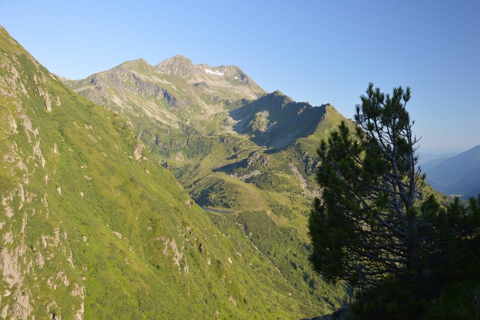
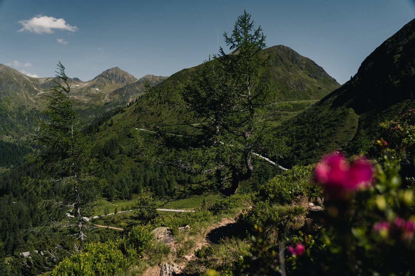
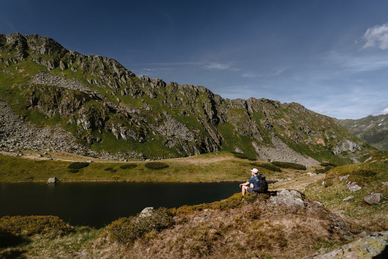
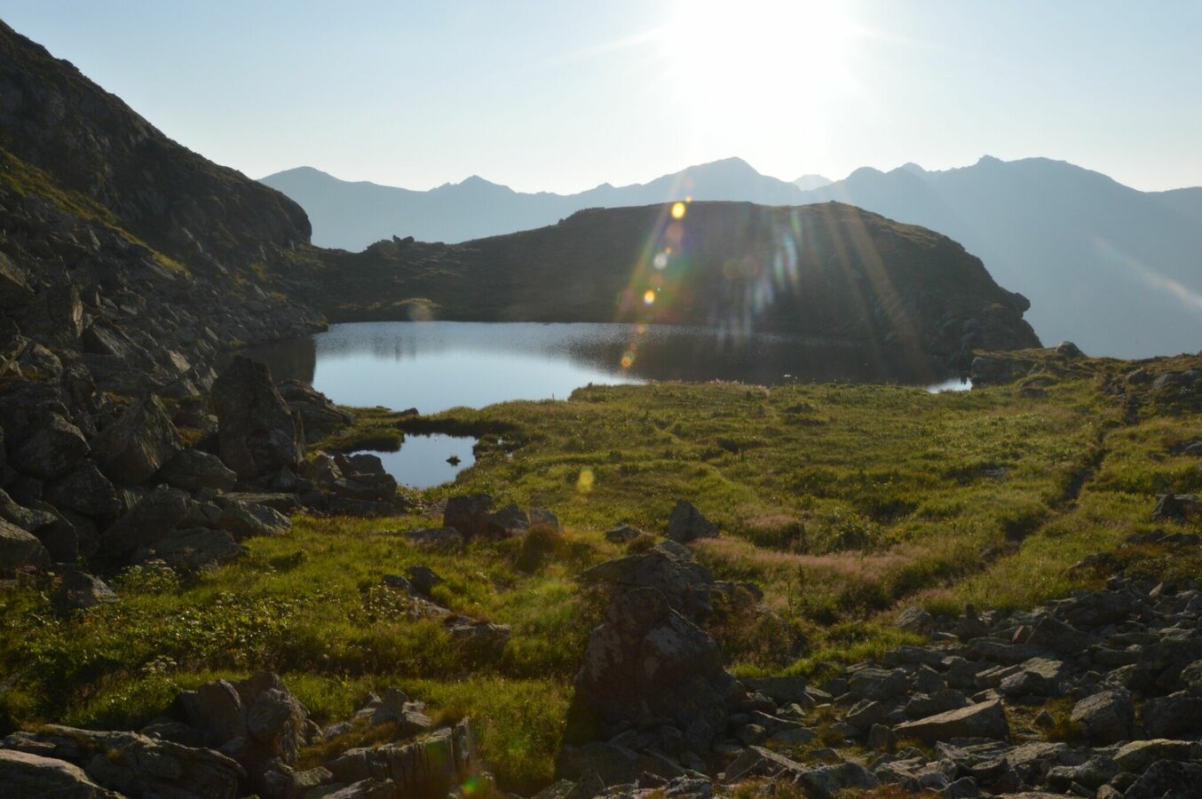
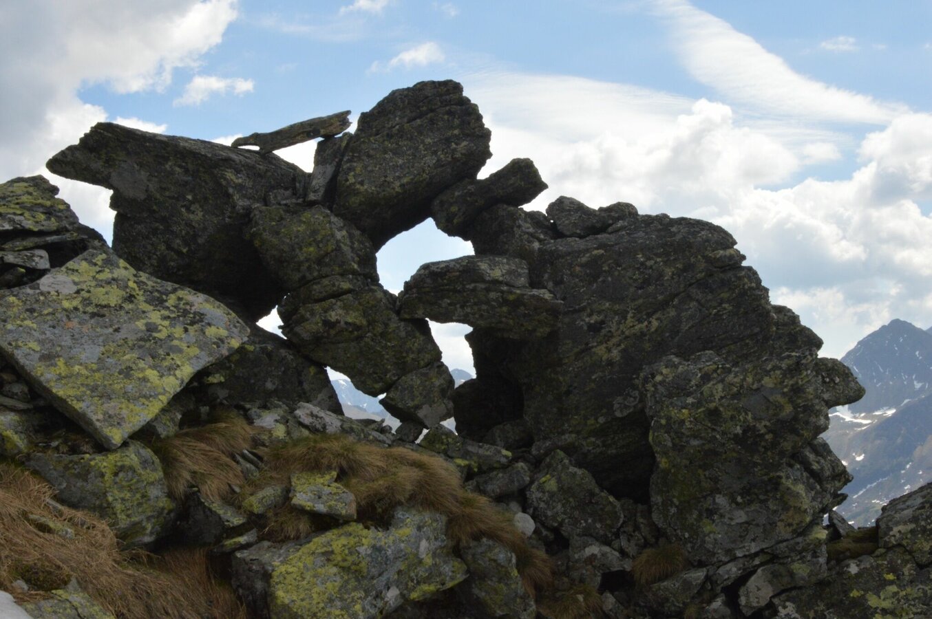
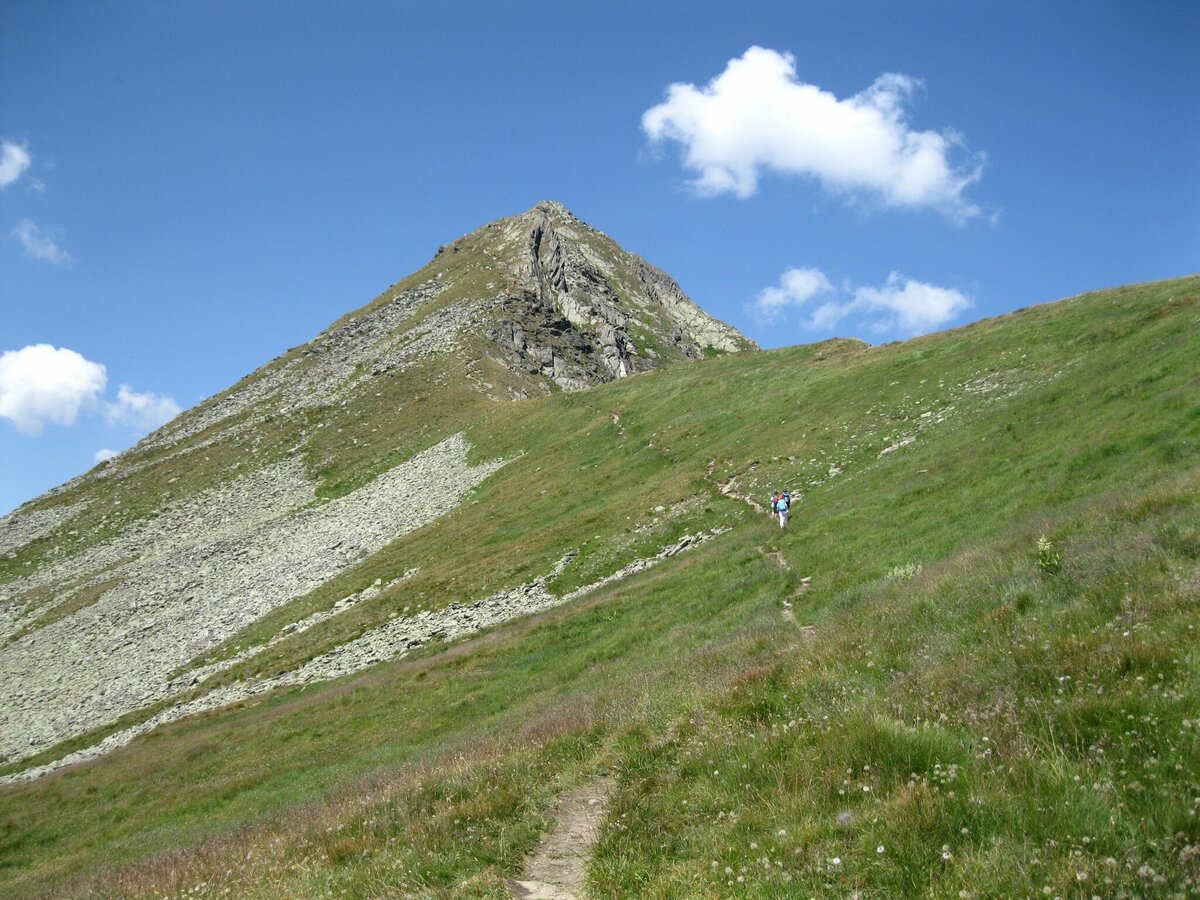
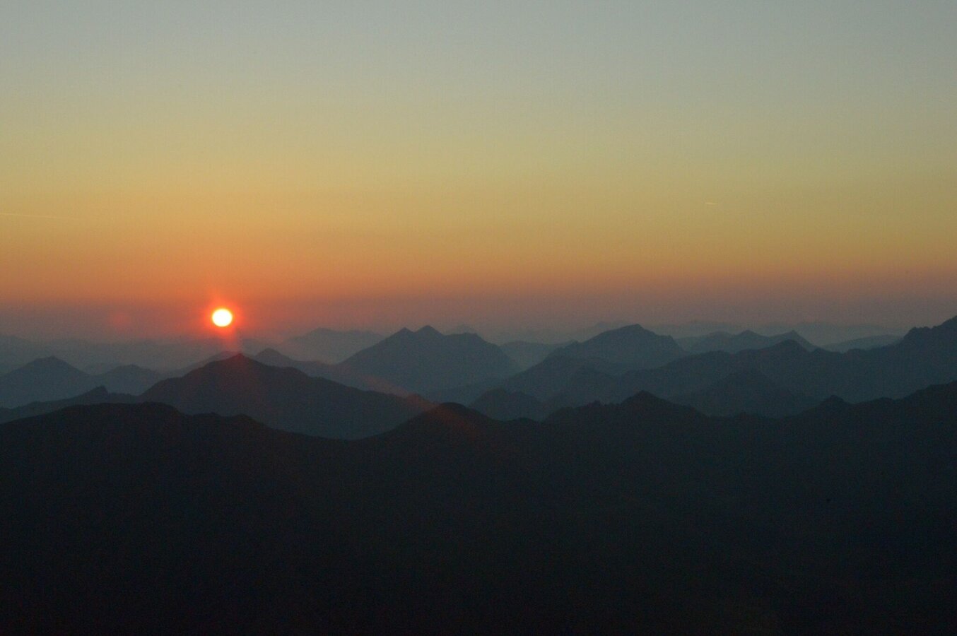
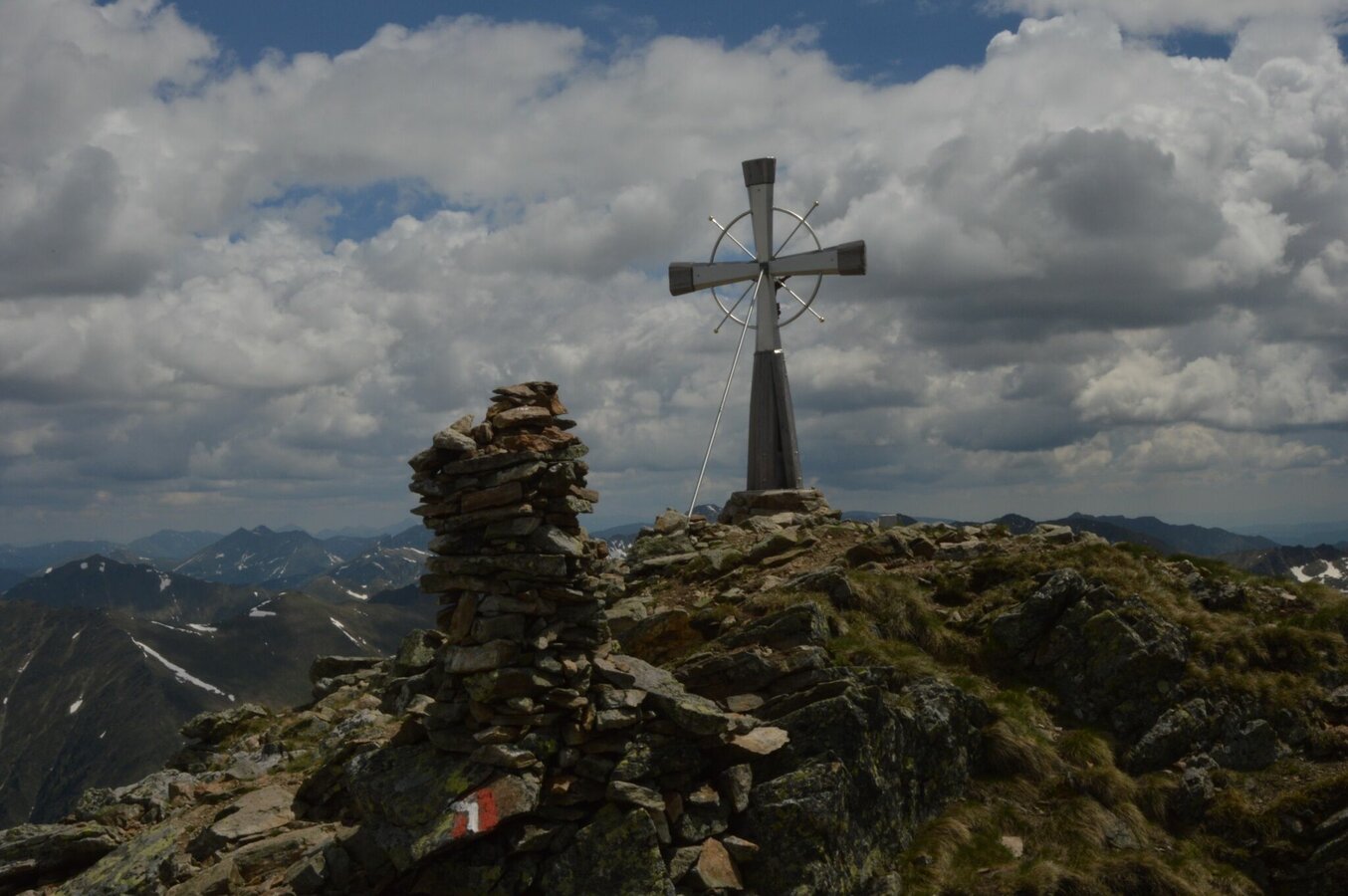
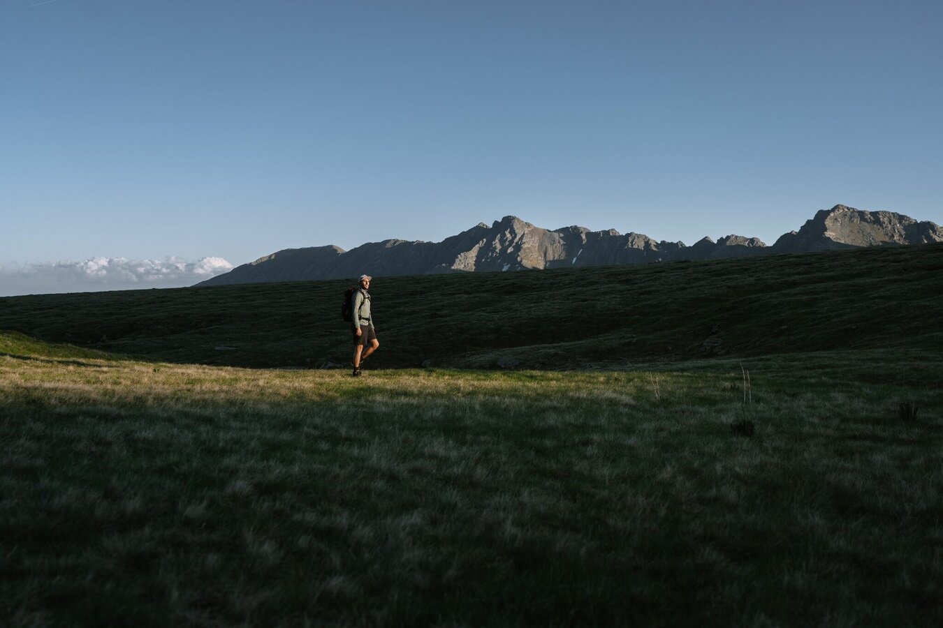
This attractive alpine tour is also thoroughly recommended as a family hike, especially since we can also tackle it in stages. Above the Kaltenbachalm, off a sharp bend, is a small P. From there the trail leads us across the stream and then via a series of switchbacks to the first Kaltenbachsee. When the rhododendron are in bloom, the hillsides are a single sea of color, with gentian also native to this area as well. Above the tree line, the trail takes us via an extended mountainside up to the Oberer Kaltenbachsee. Time on trail is a little more than 1 hour. This lake has a distinctive alpine character, yet is a splendid place to spend some time. However, the next waypoints are no less enchanting: on the left shoreline, we make our way along a ridgeline and via a rocky outcropping up to a small cirque, also home, of course, to a small tarn which, in early summer, is enchantingly surrounded by marsh marigolds.Our next waypoint is a stream that sprays out a fine mist, for it is here that the trail takes us over a short, though quite steep rocky shoulder up to the Etrachböden. This is a broad, lovely area of high pastures, serving up glorious panoramic views of the Tauern mountains. The view of the lakes and Sölkpass road, with its striking curves, both of them deep below, is impressive, clear evidence of how high we have already climbed. Once up here, we’ll want to stay a while; small brooks cut across the meadows, divided by gentle hilltops. Avid mountaineers will follow the trail along the right-hand crest (unmarked), descending briefly into a hollow, then crossing rugged terrain (marked), ascending on the south-west side to the big summit cross. We will return the same way. Poles are a real advantage on this hike – be careful in wet conditions.
Fotogalerij


Nadere informatie
Start
Branch off from the Ennstalbundesstraße B320 at Pruggern to Sölktäler. From Stein an der Enns to the Großsölktal and further to St. Nikolai. From there across the Sölkpass to the Kaltenbach Alm.
Valley shuttle Naturpark Sölktäler
Parkeren
Kaltenbach Alm
Start
Kaltenbach Alm on the Ennstal side of the Sölkpass road
Bestemming
Deneck
Veiligheid
Surefootedness. Caution when wet!
Equipment
Surefootedness. Caution when wet! Sturdy shoes, rain gear
Overige informatie en links
Safety information Safety on the mountainside: changes in the weather, sudden fall in temperature, thunder storms, wind, fog and snow fields are all objective dangers and require the correct behaviour whilst underway. The landlords of the huts are all very knowledgeable about the mountains and can give you good tips about the weather and the routes. Insufficient equipment, exaggerated opinion of ones capabilities, frivolousness, poor health condition and a false evaluation of the situation can lead to a critical situation. In thunder storms: summits, crest-sites and safety rope aids are to be avoided.
If something should happen call following emergency numbers:No. 140 - the number for all Alpine Emergencies in all of AustriaNo. 112 - European emergency call GSM emergency-call-service
Weersvooruitzichten
Datum kiezen
Rain for most of the day, maximum intensities around noon.
Morning clouds will clear gradually. Then frequent sunny periods.
The day starts sunny, but will be partly cloudy in the afternoon.


