Rotmandlspitze Summit Tour: from Ursprungalm to Eschachalm
gemiddeld gesloten Summit tours · Schladming
Winter closure of the road from the Hopfriesen bus turnaround. Blocked until April 30, 2024.
Note: The yellow hiking trail signs are generally only valid in summer. Exceptions are direction boards with the “Winter Walking” icon. Otherwise, winter paths have their own signage.
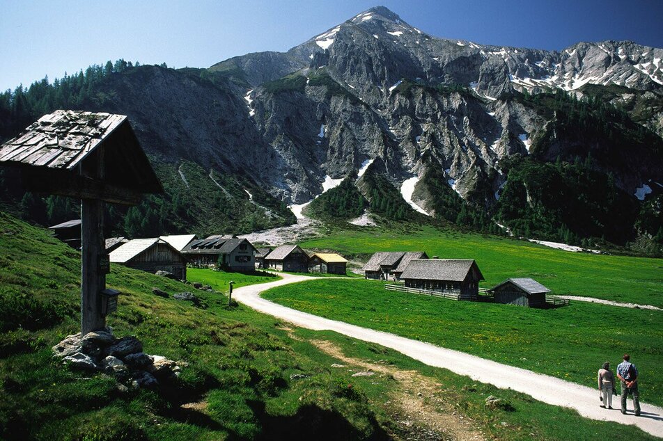
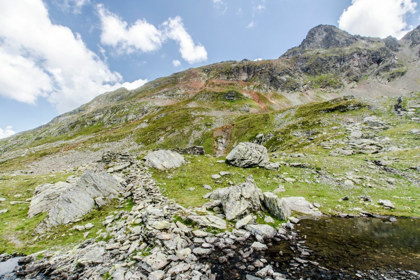
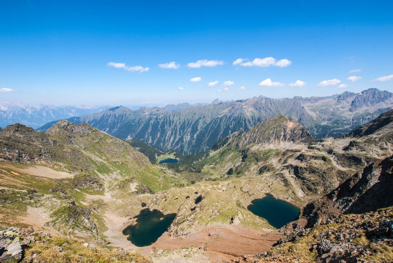
A summit tour to the historic mining district in the Schladminger Tauern range with beautiful views to Giglachsee and Duisitzkarsee Lakes. This alpine tour takes you from Ursprungalm to picturesque Giglachseen lakes in the fjord-like Giglachkar cirque, Giglachseehütte and Ignaz-Mattis-Hütte chalets offering refreshments there. You continue on into Vetternkar cirque where you encounter the remains of miners' housing. From there, the alpine trail takes you up to the summit of Rotmandlspitze summit offering great views to Giglachkar and Vetternkar cirques with several lakes. From the summit you then head donwhill via Krukeckscharte ridge and Keinprechthütte chalet to Eschachalm in Obertal valley.
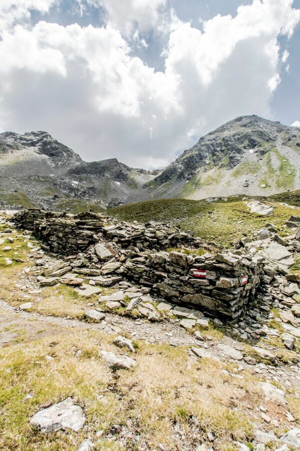
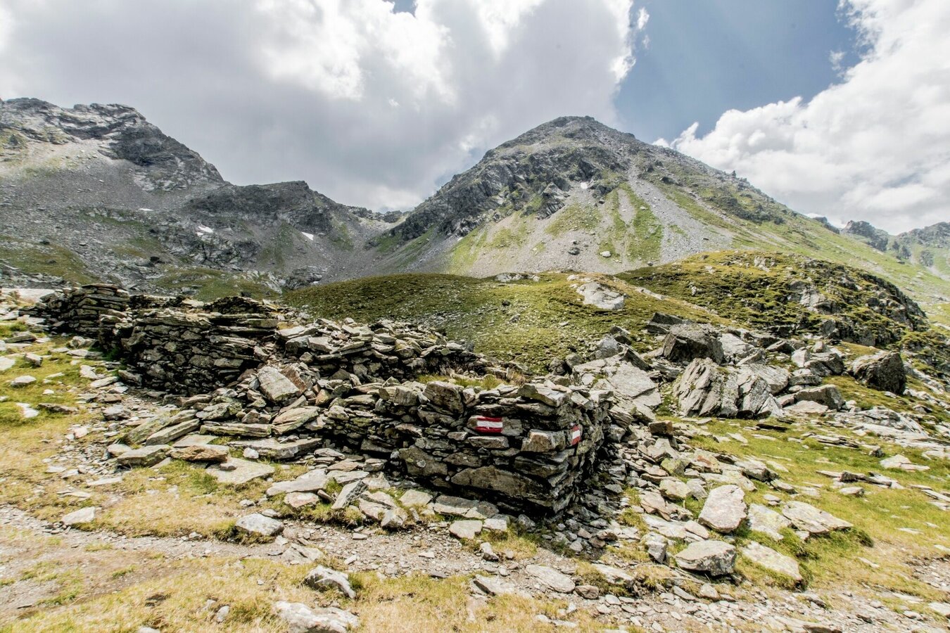
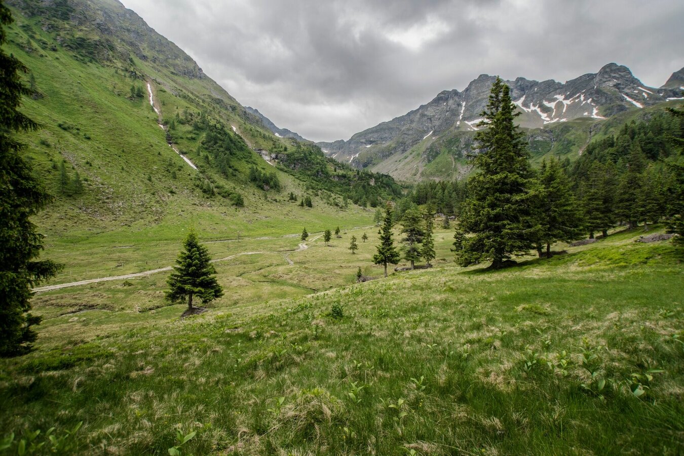
The points of interest are the historic roman route to Giglachseen Lakes, the remains of miner's housing in Vetternkar cirque and Rotmandlspitze summit as well as the many lakes of course. On the way to the valley from Keinprechthütte you also pass through the picturesque alp scenery of Neualm.
Fotogalerij
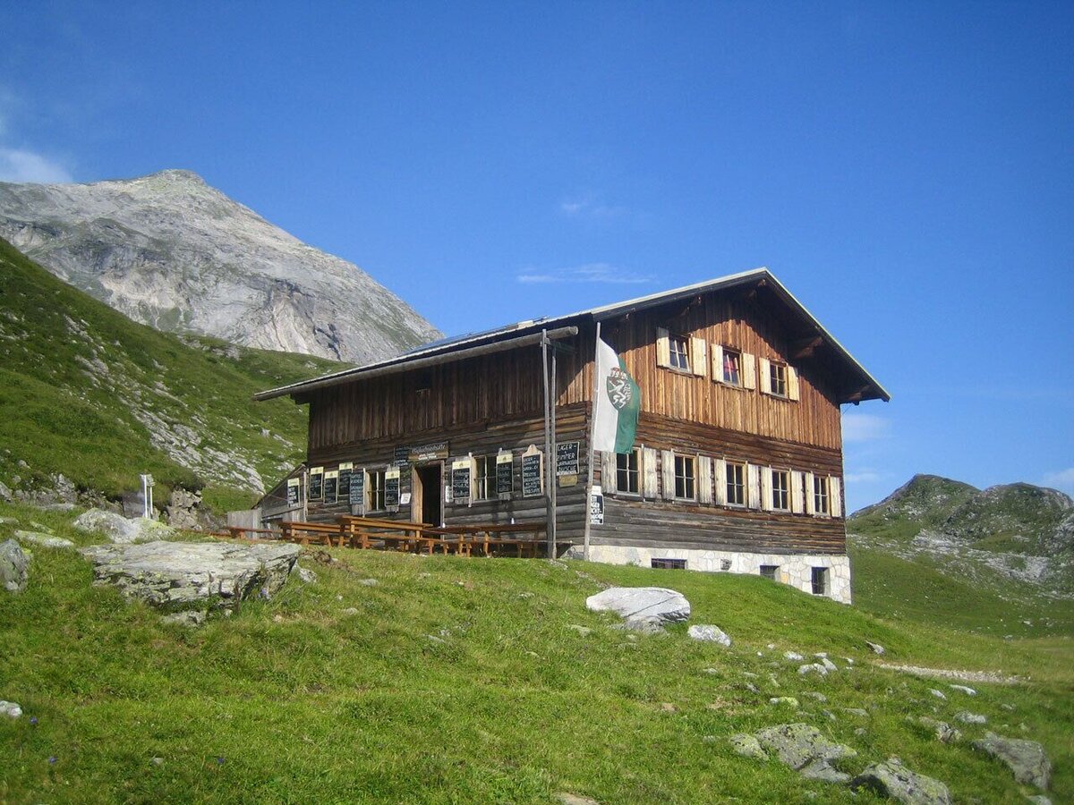
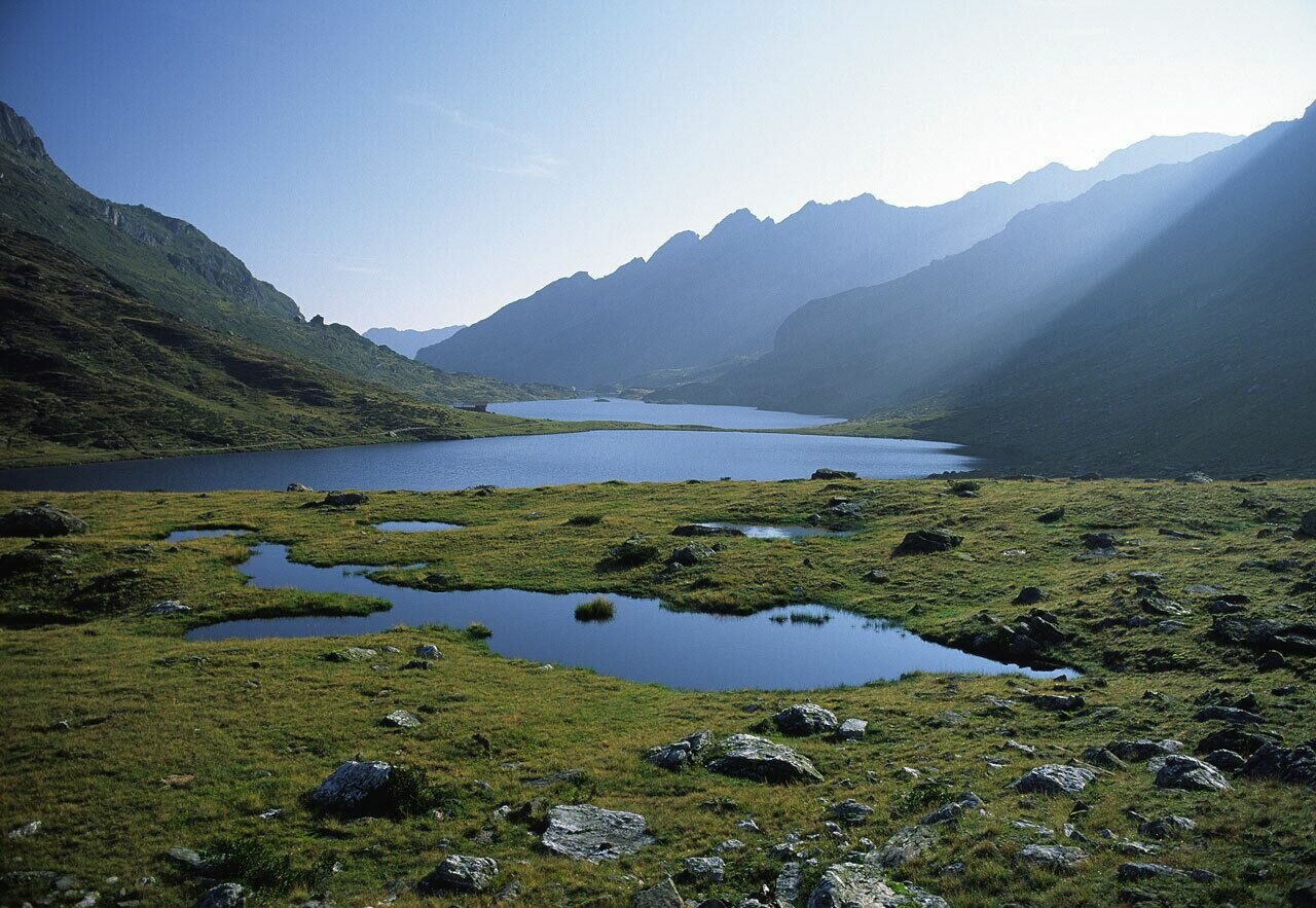
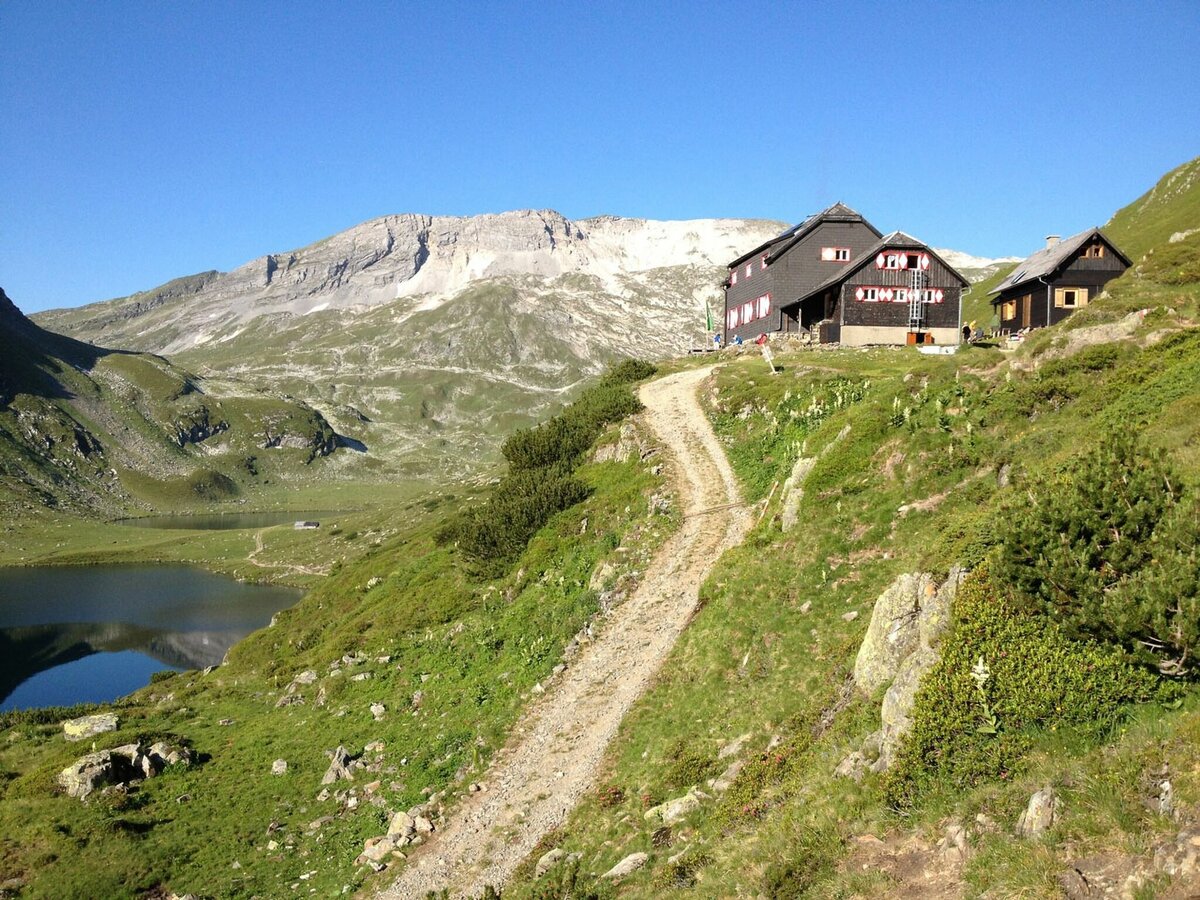
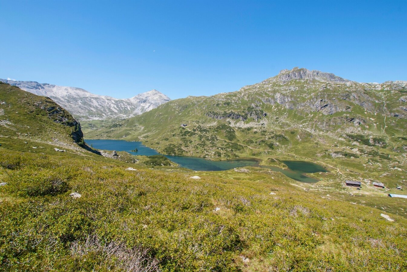
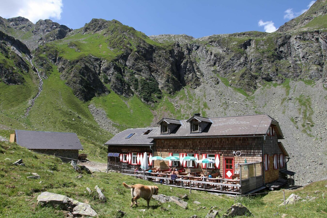
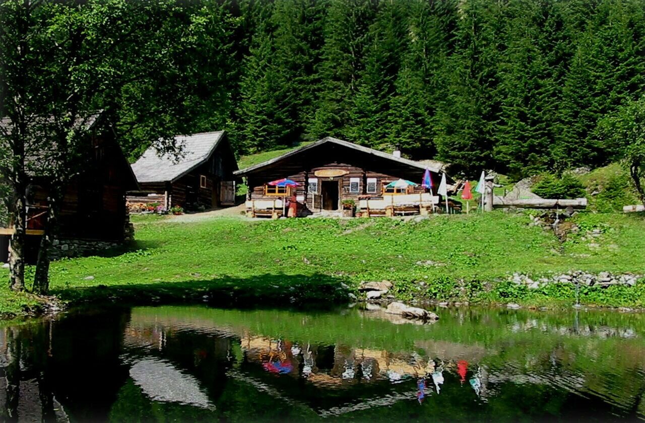


From the hiking trail head at Ursprungalm chalet you take trail n° 771 to Preuneggsattel mountain saddle (approx. 1 hour) and the Giglachsee Lakes. From Giglachseehütte chalet you now follow trail n° 702 and pass by Ignaz-Mattis-Hütte chalet. You descend a little to the trail junction 702/776 at Tonnerhütte chaltes.
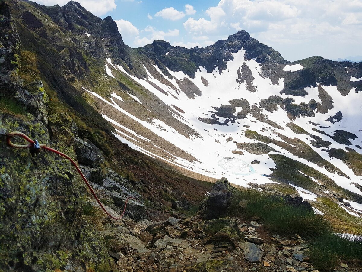
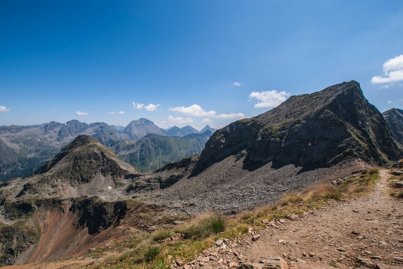
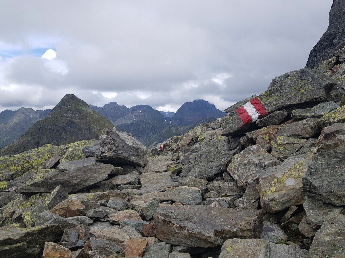
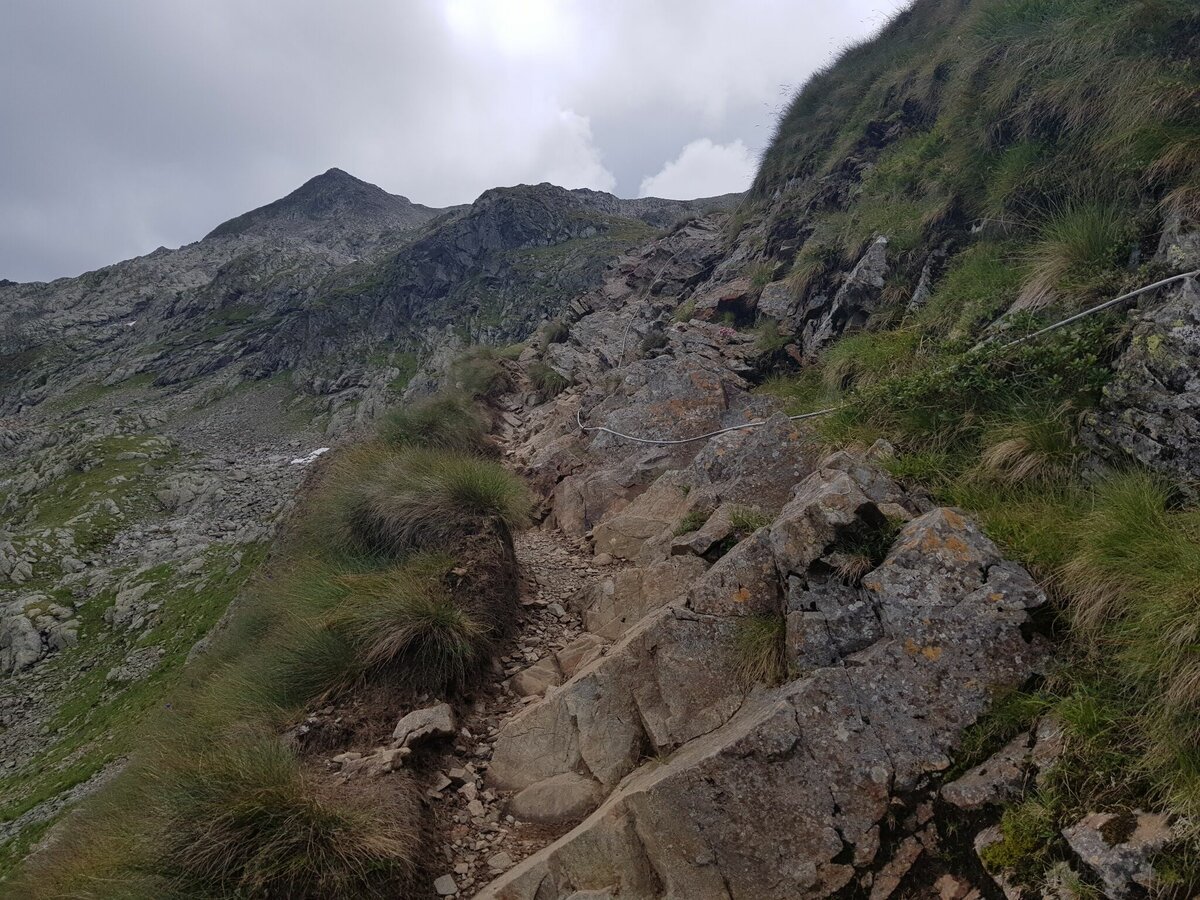
From here you follow trail n° 702 slightly uphill into Vetternkar cirque until you reach the meinans of miners' houses. From here the trail starts to ascend steeper and leads up to Rotmandlspitze via several switchbacks. The summit is a quite broad ridge and from here you enjoy views into Giglach and Duisitzkar cirques.
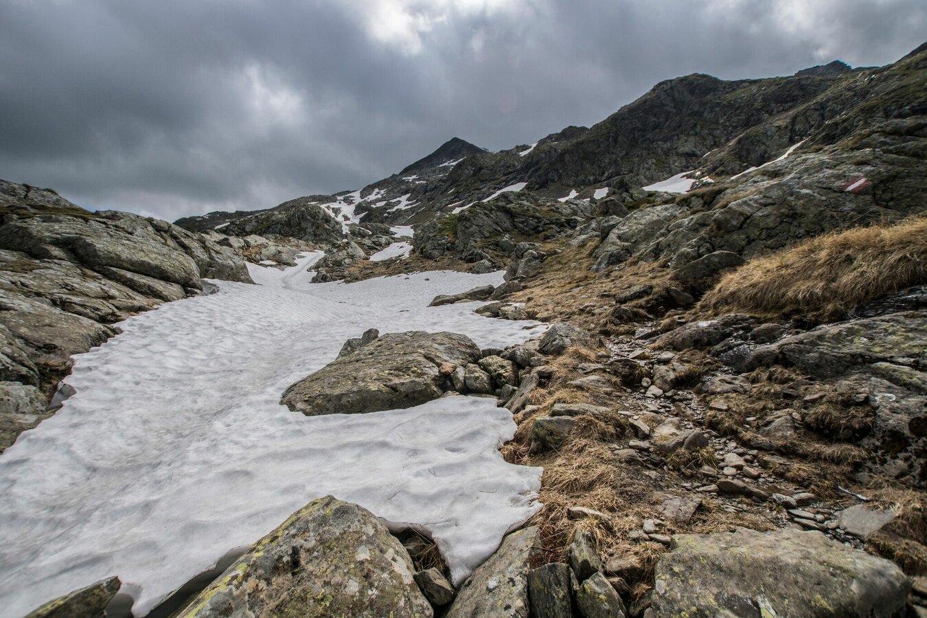
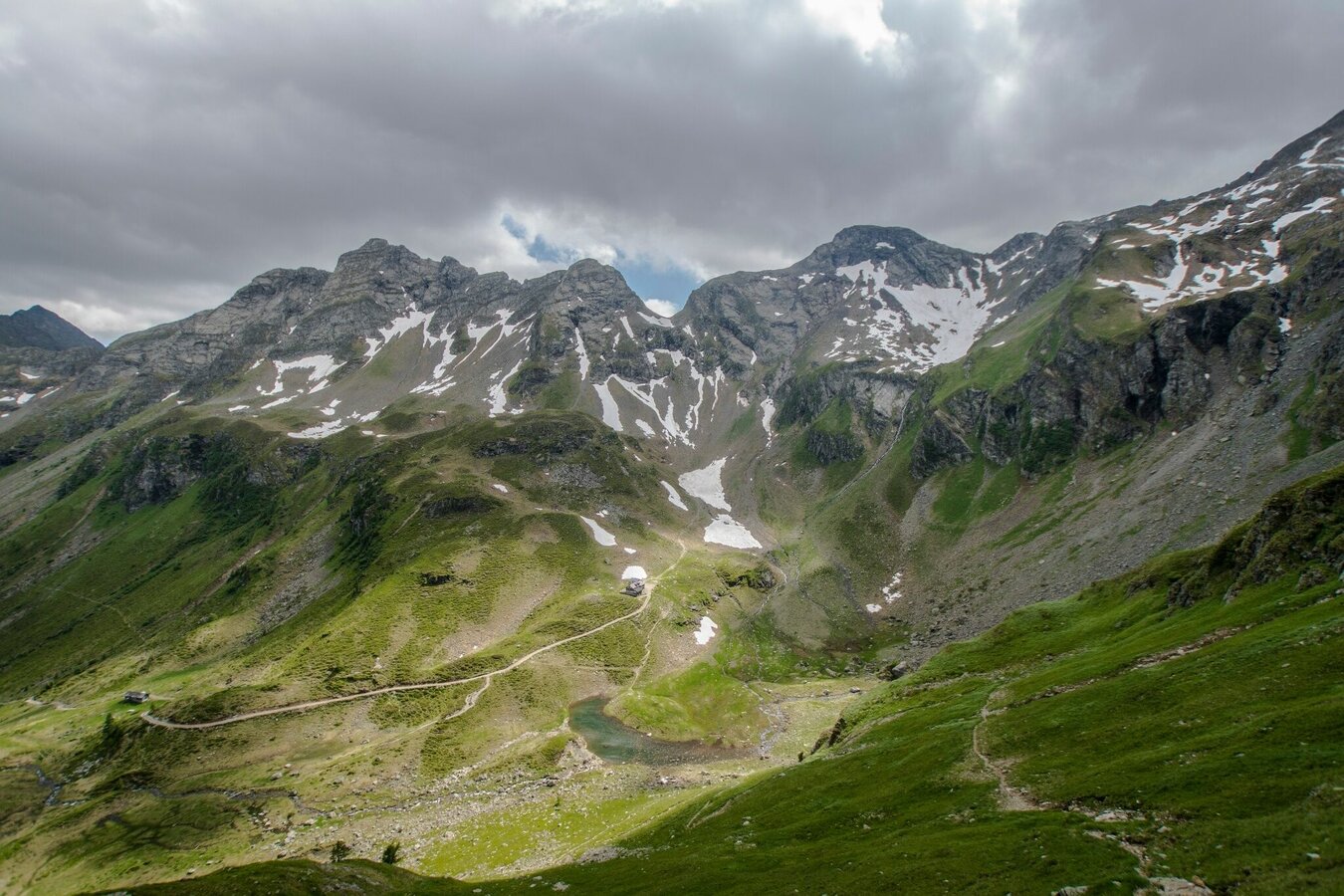
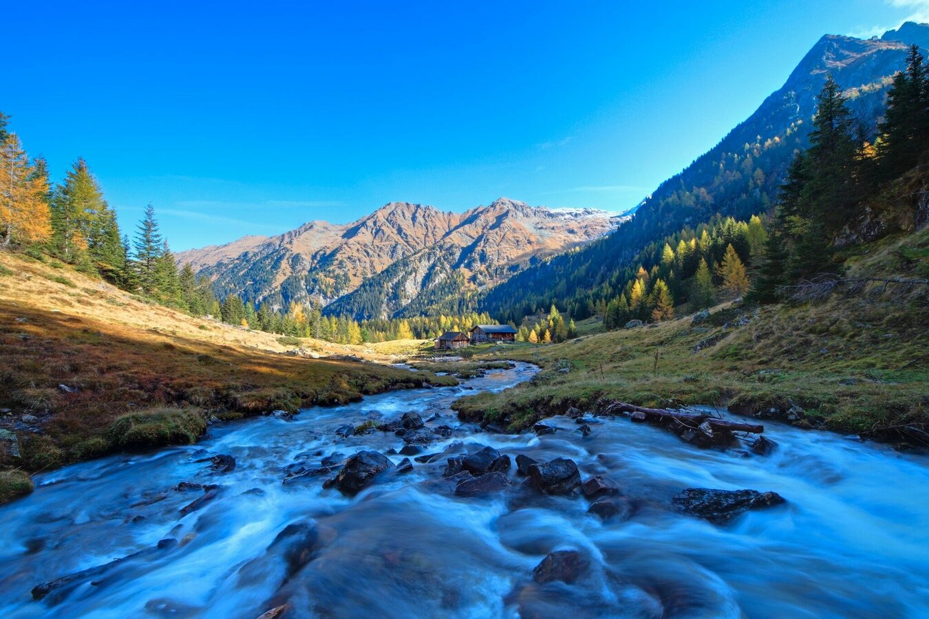
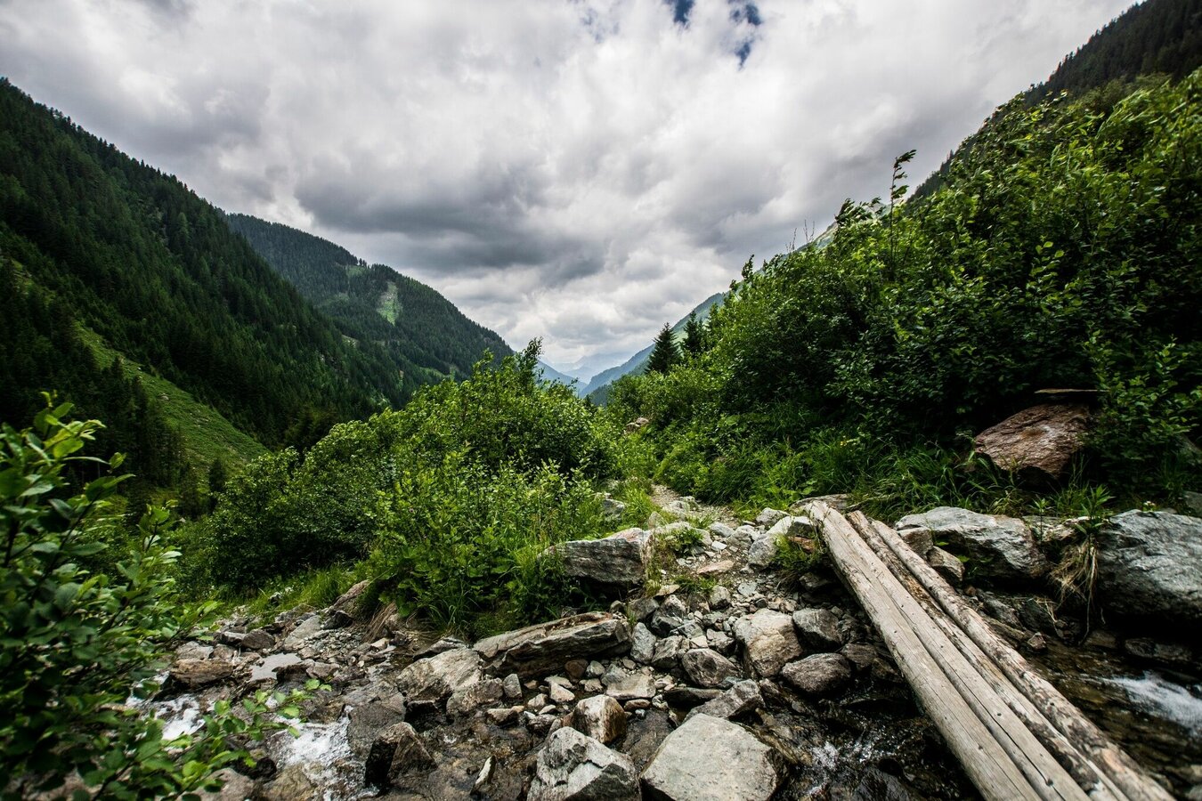
Depending on the season there might be some snow fields or rubble stone fields leading to the Krukeckscharte mountain saddle. From there you descend to Keinprechthütte chalet via a steep trail. After some refreshment and snacks at Keinprechhütte you follow trail n° 774 to Neualm and further downhill to Eschachhütt'n Inn at Eschachalm from where you take the bus back to Schladming.
With the Planai buses from Schladming (Planet-Planai, Lendplatz) or Rohrmoos (Rohrmoos-Zentrum) to Ursprungalm in Preuneggtal valley. From Eschachalm in Obertal valley take the bus back to Rohrmoos and Schladming.
- Buses of Planai-Hochwurzen-Bahnen: www.planaibus.at
Surefootedness, a head for heights and alpine experience required!
Changes in weather patterns, quick falls in temperature, thunderstorms, wind, fog and snow are some of the dangers that can be encountered on a hiking tour. Hosts of alpine huts and mountain refuges have a lot of experience in the mountains and can give good advice about weather and the trails. Poor equipment, overestimation of one's own capabilities, carelessness, poor personal constitution and/or wrong judgement can lead to critical situations. In case of thunderstorms: avoid summits, ridges and steel ropes.
GPS data and orienteering
Available GPS data - just like hiking maps - is only a guidance for orientation and can never depict a trail exactly with all its details. Especially at dangerous spots it is essential to judge on site how to proceed.
In an emergency please call:
- 140 - for Alpine emergencies (all over Austria)
- 112 - European GSM emergency number
Tourist information: www.schladming.com
Information about bus schedules: www.planaibus.at
360° drone images
Get yourself an overview with our 360° drone images:
- View over Giglachkar cirque: https://vonoben.schladming-dachstein.at/sommer/index.php?S=307
- Giglachseen and Kalkspitzen summits: https://vonoben.schladming-dachstein.at/sommer/index.php?S=308
- Lower Giglachsee Lake and Vetternkar cirque: https://vonoben.schladming-dachstein.at/sommer/index.php?S=309
- Via Rotmandlspitze: https://vonoben.schladming-dachstein.at/sommer/index.php?S=310
- Hiking map Schladming, 1:25.000, available at the tourist office Schladming.
- Hiking map Schladming-Dachstein, 1:50.000, available at the tourist office Schladming.
- Wanderführer Schladming-Dachstein von Herbert Raffalt, erhältlich im Tourismusverband Schladming.


