Pürgg & Marterlweg from Lessern
eenvoudig Hiking · Stainach-Pürgg
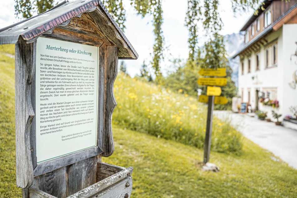
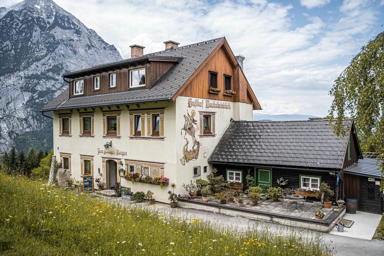
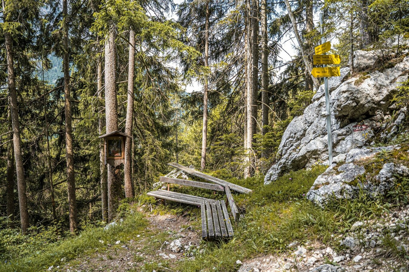
Relatively easy hike from Lessern. The Gasthof Dachsteinblick, the Marterlweg and the picturesque town of Pürgg with its two churches are the highlights on this route. Differently designed marterls accompany you on the “old church path” from Wörschachwald to Pürgg.
Fotogalerij
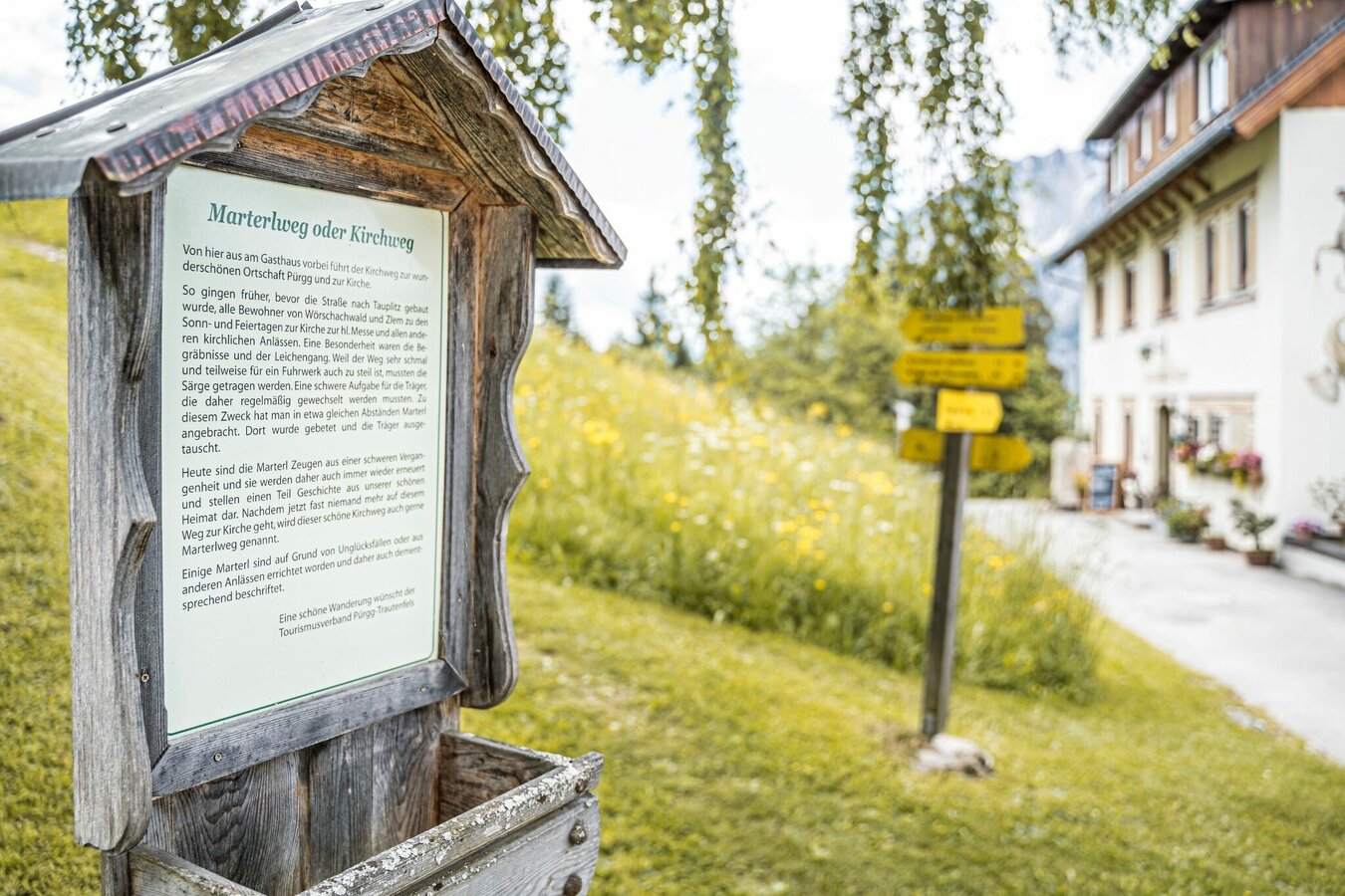
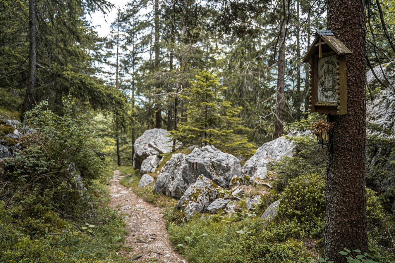
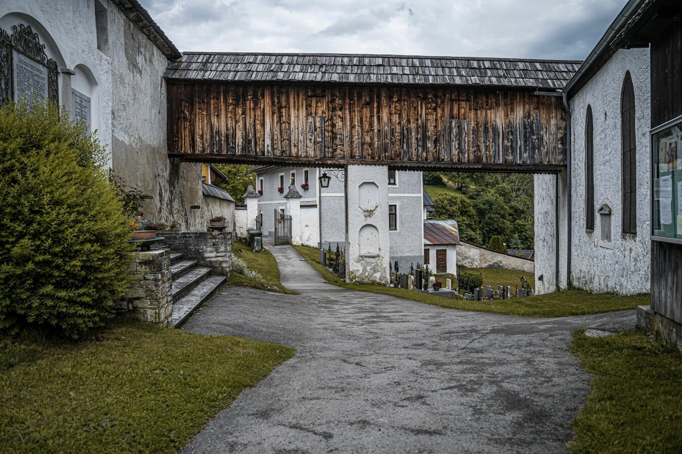
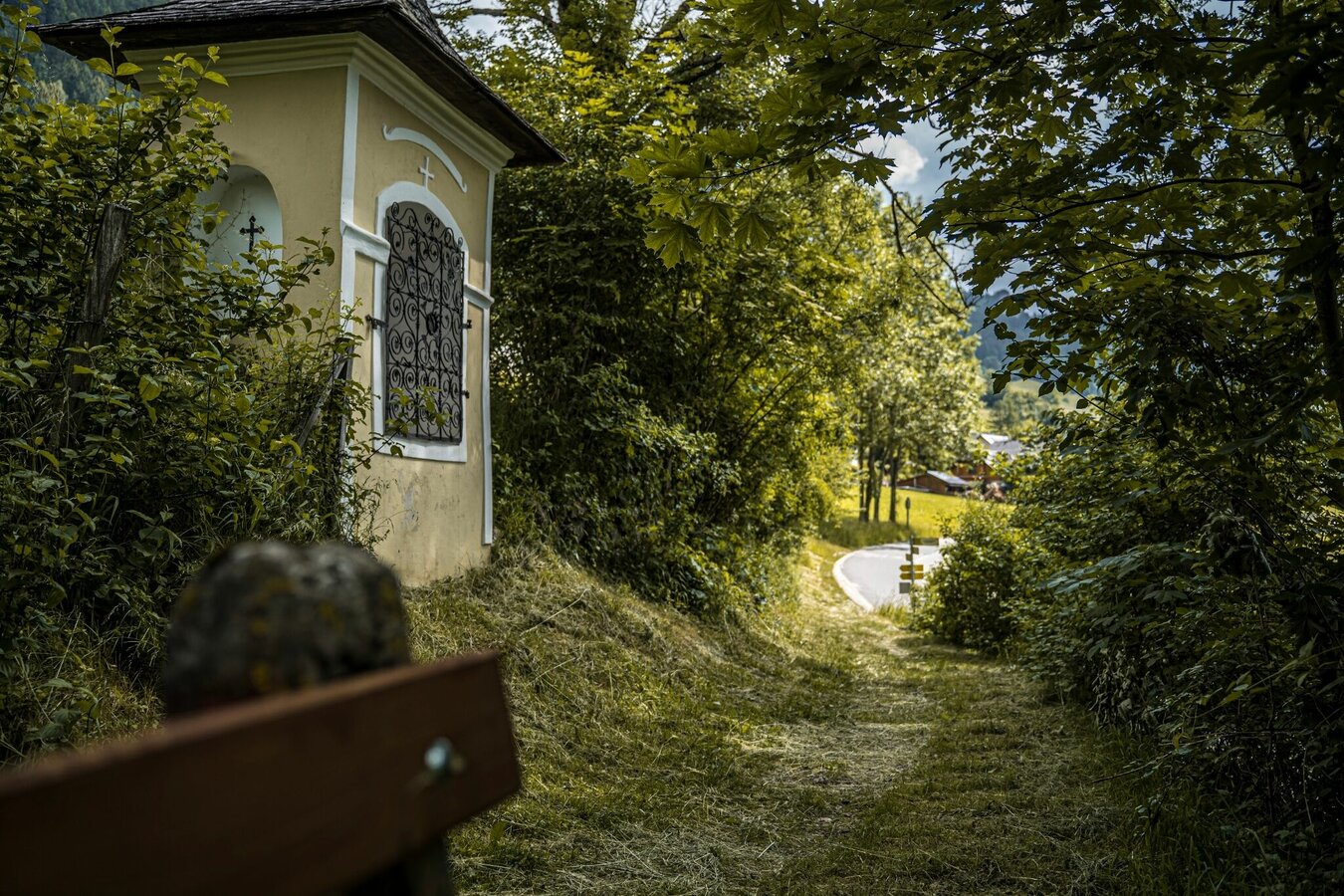
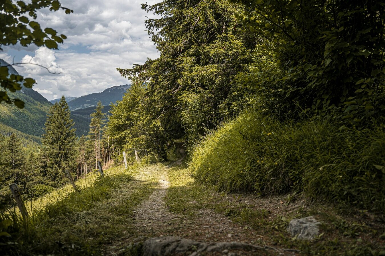


First you follow the directions for the Dachsteinblick circuit above to the crossroads with path #10. However, you continue hiking towards Pürgg and shortly afterwards you come to a second crossroads. At this point you turn left and hike slightly uphill to the connection to path #289 in the bend near Wischberger-Lehen. Here now the road back - past the natural swimming pool - to Pürgg with the beautiful parish church of St. Georg and the associated rectory as well as the Johannes chapel. We head back west out of town. After just a few meters the Marterlweg branches off to the right again. You follow this again to the crossroads with path #10, which you now follow back to Lessern.
Coming from Liezen or Schladming, take the exit towards Tauplitz (B145) at the Trautenfels traffic circle. Turn off directly at the village of Lessern and drive onto the signposted parking area.
From Stainach-Irdning train station take bus number 950 to Lessern - Bundesstrasse stop. Timetable/times at www.verbundlinie.at
Car parking Lessern
Stay on the marked trails and remember to close pasture fences again. If you encounter cows: It is best to pass above the herd with at least 50 meters distance. Stay calm, don't make any frantic movements and don't run away. Do not imitate cow sounds and do not try to pet the animals. A stick and loud shouting can often make the animals turn back in an emergency.
GPS data and orienteering
Available GPS data - just like hiking maps - is only a guidance for orientation and can never depict a trail exactly with all its details. Especially at dangerous spots it is essential to judge on site how to proceed.
In an emergency please call:
- 140 - for Alpine emergencies (all over Austria)
- 112 - European GSM emergency number
A well-packed backpack is helpful and especially when touring Alpine terrain a tuque, gloves, a windproof jacket and pants are standard equipment. Good, waterproof shoes, sun glasses, sun cream and sufficient beverages are essential too. Torch light, a map of the area, knie and a small first-aid kit should also be in the backpack.
- SCHLADMING-DACHSTEIN summer experience map EAST, available free of charge at the tourist offices and accommodation establishments.
- SCHLADMING-DACHSTEIN Hiking Map (1:50.000)


