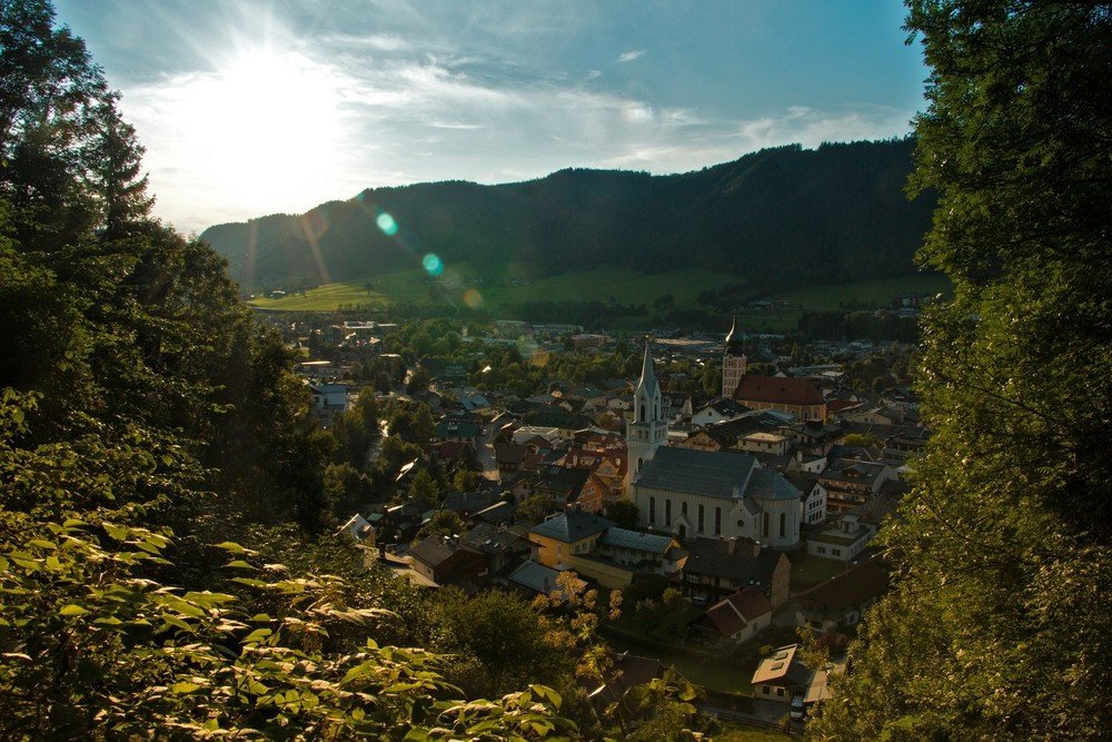
On our long-distance hiking paths – such as the Schladminger Tauern Höhenweg, Panoramaweg 100, the Dachstein Rundwanderweg and the first stages of the "From Glacier to Wine" route – hikers are treated impressively to the vast variety of landscapes within the Schladming-Dachstein Region.

The Schladminger-Tauern Höhenweg 702
Many mountain lakes, waterfalls and geological features
Due to its unique geological features, the wealth of plant and animal species, and the special character of the surrounding mountain world, this particular section of the Central Alpine Trail through the Schladminger Tauern is one of the most beautiful hiking tours to be found anywhere in the Alps.

Dachstein Hiking tour
8 stages
The tour mainly covers alpine terrain. You will need appropriate mountain gear and plenty of stamina. Equipment: ankle-high boots, functional clothes, rucksack, food and water, rain and sun protection, first-aid kit, mobile phone, possibly hiking sticks, …
Your route is recorded for posterity when you enter your name in every hut logbook in the Dachstein Mountains.
5 to 7 hours hiking time is planned per day. The routes are well marked, although the signs might be covered by snow. Which means, it is imperative that you take your maps and the Dachstein hiking book with you.

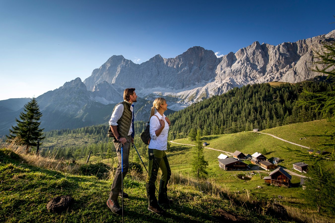
Sun Trail Dachstein
3 days along Dachstein's sunny side
The Dachstein - this great mountain with its diverse landscapes has always inspired people and it is not for nothing that he is considered THE mountain personality. You start in Filzmoos and hike along the sunny south side of the Dachstein massif over alpine meadows, through typical karst landscape with snow hollows, to the highest mountain hut in Styria and via the Silberkarsee back to Ramsau Ort.
Schladming-Dachstein Panoramaweg 100
Pure hiking enjoyment awaits you on Dachstein-Tauern Panoramaweg 100
Panoramaweg 100 is a 116 km hiking trail. It leads you out to the left and right of the River Enns at elevations ranging from 700 to 1300 m above sea level, making it a wonderful hiking opportunity from May on. This trail is particularly suitable for hikes spanning several days.
From Glacier to Wine
Imposing mountains, nature sanctuaries, regional food & drink
Hikers begin on Dachstein glacier at the foot of the Dachstein elev. 2995 m. After the first stage through a world of eternal ice to the Guttenberghaus above Ramsau am Dachstein, the path splits off in the direction of the wine country – and hikers can decide: either take the 533 km long northern route , with 33 stages bringing you to Bad Radkersburg in the Thermenland region, or the southern route, consisting of 23 stages ending in Leibnitz in southern Styria.
The first three stages of this theme hike lead through the Schladming-Dachstein Region.


