Radstadt-Roßbrand Tour
difficult Mountainbike · Schladming
Tour characteristics
Stamina
Technique
Experience
Landscape
Tour-Infos
Distance: 30.41 km
Duration: 4:00 h
Ascent: 1018 m
Descent: 1035 m
Best time of year
january
february
march
april
may
juny
july
august
september
october
november
december
The tour
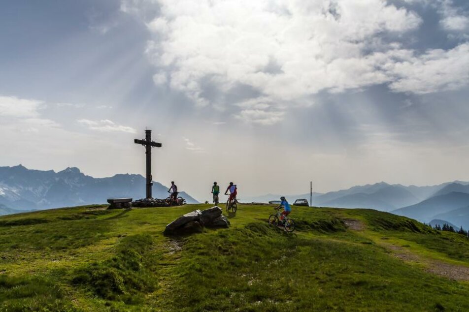
The asphalt road leads you to the top of the Rossbrand with a fantastic view of 150 peaks. Return options via Bürgerbergalm, Steinalm or the Mandlberggut.
More information
Turn-by-turn directions
Start in Radstadt at the sports centre - turn right to the junction of the Rossbrandstraße - steady ascent on asphalt, follow the road to the car park at 1720 m above sea level (beautiful view towards the Tennengebirge mountains) - past a barrier on gravel to the Radstädter Hütte am Rossbrand with great views.
Start
Sport centre Radstadt
Destination
Roßbrand/Radstädter Hut
Security
Weather changes, rapid drops in temperature, thunderstorms, wind, fog and snowfields are objective dangers and require the right behaviour on the road. Hutkeepers are experienced mountain connoisseurs who can give good tips on the weather and the route. Lack of equipment, overestimation of one's own abilities, carelessness, poor physical condition and a wrong assessment can lead to critical situations. During thunderstorms: Avoid peaks, ridges, trees and rope belaying at all costs.
In an emergency, please dial the following emergency calls: No. 140 - Mountain Rescue No. 112 - Euro Emergency Call
Equipment
Bicycle helmet, cycling clothes, sturdy shoes, weather protection, enough to drink.
Weather forecast
Date
Morning snow showers, then fairly sunny during the day.
Dry with variable cloudiness and frequent sunny spells.
Early clouds will gradually clear to leave the region with a dry and sunny day.


