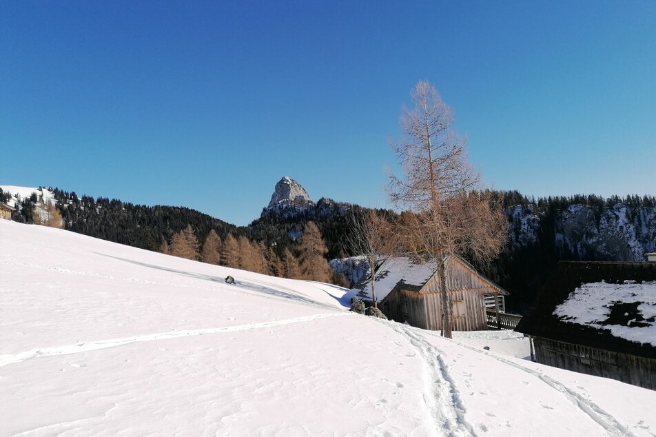
Ski tour to the Bärenfeichtenalm
snadné Ski tour open terrain · Stainach-Pürgg
All beginnings are yay! You are a greenhorn? Then this should be the first voyage for your new skis. Because here an extremely comfortable forest road brings you up to a very scenic alpine pasture.
From the parking lot of the Spechtensee hut, walk the short distance back to the road and follow it further east slightly downhill. After about 800 meters turn left onto the road in the direction of Bärenfeichtenalm. Easy and only slightly ascending, the path leads you in several hairpin bends up to the Bärenfeichtenalm.
Mountain sports and the assessment of the situation on site are - even more so in winter - primarily subject to personal responsibility. Tourism associations or avalanche warning services do not assume any liability based on the information provided.
- Check the weather and avalanche situation at www.lawine-steiermark.at before each ski tour.
- The use of the tour description is at your own risk and responsibility.
- Do not go on a ski tour alone. It's more fun together anyway!
- Always behave risk-conscious and react to danger signs!
- Respect existing regulations, such as hunting and game protection areas, reforestation or young growth areas.
- You should always have your cell phone well charged. Do you have the emergency numbers saved? Mountain rescue: 140. If you have no reception, take out the sim card and dial 112.
- Avalanche beacon, probe and shovel are essential in open terrain.
- Ski touring equipment consisting of skis/splitboard, skins, poles and possibly crampons.
- Food, warm drinks, spare clothing and a first aid kit.
- Choose your clothing according to the onion layer principle.
- Maps and/or tour descriptions. GPX tracks on your mobile phone or GPS device are also helpful.
This ski tour is perfectly suitable for beginners!
Tourism information:
T: +43 3687 23310
Garbage on meadows and paths can not smell mountain and valley. Please take it with you. Agriculture and forestry are important partners for Berg und Tal. They allow you to walk and drive on many of their paths. Be aware that only good cooperation will guarantee your recreational enjoyment in the future.
GRIMMING-DONNERSBACHTAL Hike & Bike Map (1:31.000). Available free of charge at the tourist offices of Berg & Tal.SCHLADMING-DACHSTEIN Hike Map (1:50.000)
KOMPASS Map 68, Ausseerland-Ennstal 1:50.000, Hiking, Biking, Ski tours


