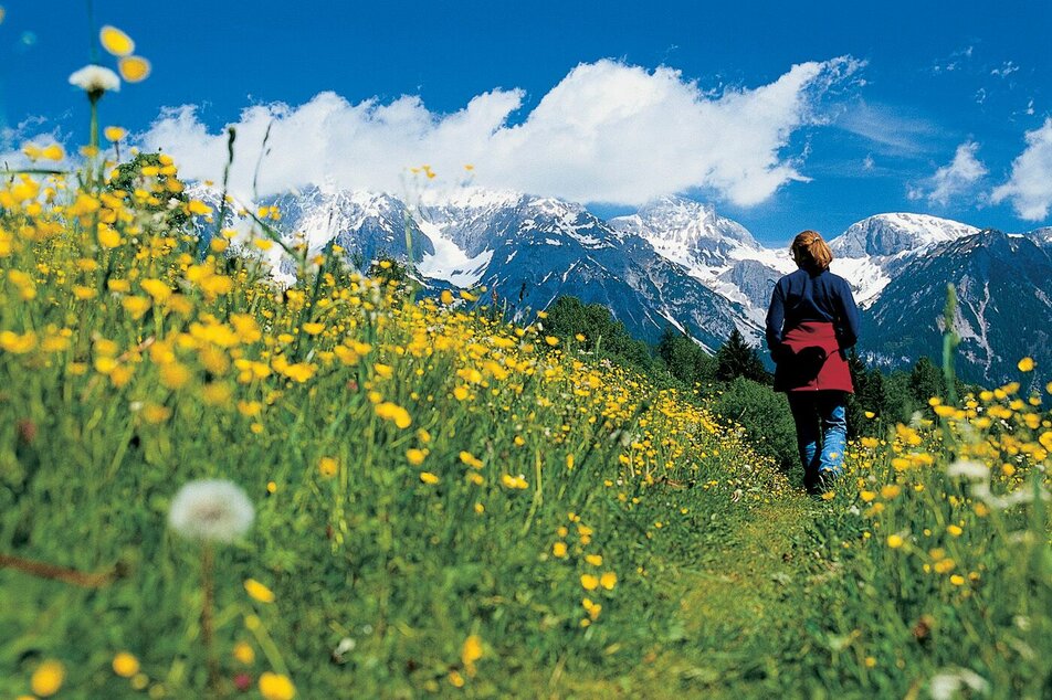
On the tracks of miner's from the village Untertal to Obertal valley

snadné Hiking · Schladming

Vlastnosti túry
Vhodnost
Technika
Informace o túře
Trasa: 10.92 km
Doba trvání: 03:16 h
Výstup: 335 m
Sestup: 0 m
Nejlepší roční období
Leden
Únor
Březen
Duben
Květen
Červen
Červenec
Srpen
Září
Říjen
Listopad
Prosinec
Túra
On this tour you hike along the historic route miners took to the mines in Obertal valley. A visit to the former nickel and silver-processing plants grants you even greater insights into life in olden times.

Trail characteristics:

gravel paths, some paved

Restaurants:

Landalm, Eschachhütt'n (approximately 30 minutes from the Nickel Museum)

Highlights:

Nickel Museum

Popis trasy
 

Heading towards the elementary school along the Ahornweg, you will pass many beautiful, traditional farms. The Dachstein massif at your back, the Schladminger Tauern, where the miners once dug for silver and nickel, before you. Follow the stream into the valley – and along the way, a perfect opportunity to cool off your feet in the cool, wet water. Hiking on to the Nickel Museum is definitely worthwhile. Ambitious hikers can add an extra 30 minutes by going to the Eschachalm. Along the entire route are bus stops for your return trip to Untertal or to Schladming.

Příjezd
From Schladming take provincial highway L722 (Rohrmoosstraße road) to Rohrmoos and at the roundabout continue on provincial highway L723 (Tälerstraße road) to the village Untertal.
With the Planai buses from Schladming (Planet-Planai, Lendplatz) or Rohrmoos (Rohrmoos-Zentrum) to the village Untertal. 
Parkování
Parking is available at the hiking trail head Untertal village (opposite of the fire department).
Začátek
Hiking trail head Untertal village
Cíl
Nickel Museum, Obertal.
Changes in weather patterns, quick falls in temperature, thunderstorms, wind, fog and snow are some of the dangers that can be encountered on a hiking tour. Hosts of alpine huts and mountain refuges have a lot of experience in the mountains and can give good advice about weather and the trails. Poor equipment, overestimation of one's own capabilities, carelessness, poor personal constitution and/or wrong judgement  can lead to critical situations. In case of thunderstorms: avoid summits, ridges and steel ropes.

GPS data and orienteering

Available GPS data - just like hiking maps - is only a guidance for orientation and can never depict a trail exactly with all its details. Especially at dangerous spots it is essential to judge on site how to proceed.

In an emergency please call: 

  • 140 - for Alpine emergencies (all over Austria)
  • 112 - European GSM emergency number
A well-packed backpack is helpful and especially when touring Alpine terrain a tuque, gloves, a windproof jacket and pants are standard equipment. Good, waterproof shoes, sun glasses, sun cream and sufficient beverages are essential too. Torch light, a map of the area, knie and a small first-aid kit should also be in the backpack.

Také by vás to mohlo zajímat

Předpověď počasí

Vybrat datum
ráno
2°C
v době oběda
15°C
večer
7°C
Dry and sunny throughout the day with hardly any clouds.
ráno
2°C
v době oběda
11°C
večer
7°C
Rather sunny weather during the day with clouds mainly in the morning and towards the evening
ráno
3°C
v době oběda
12°C
večer
5°C
Dry and partly sunny throughout the day, with cloudy periods from time to time.

Podobné túry v oblasti