
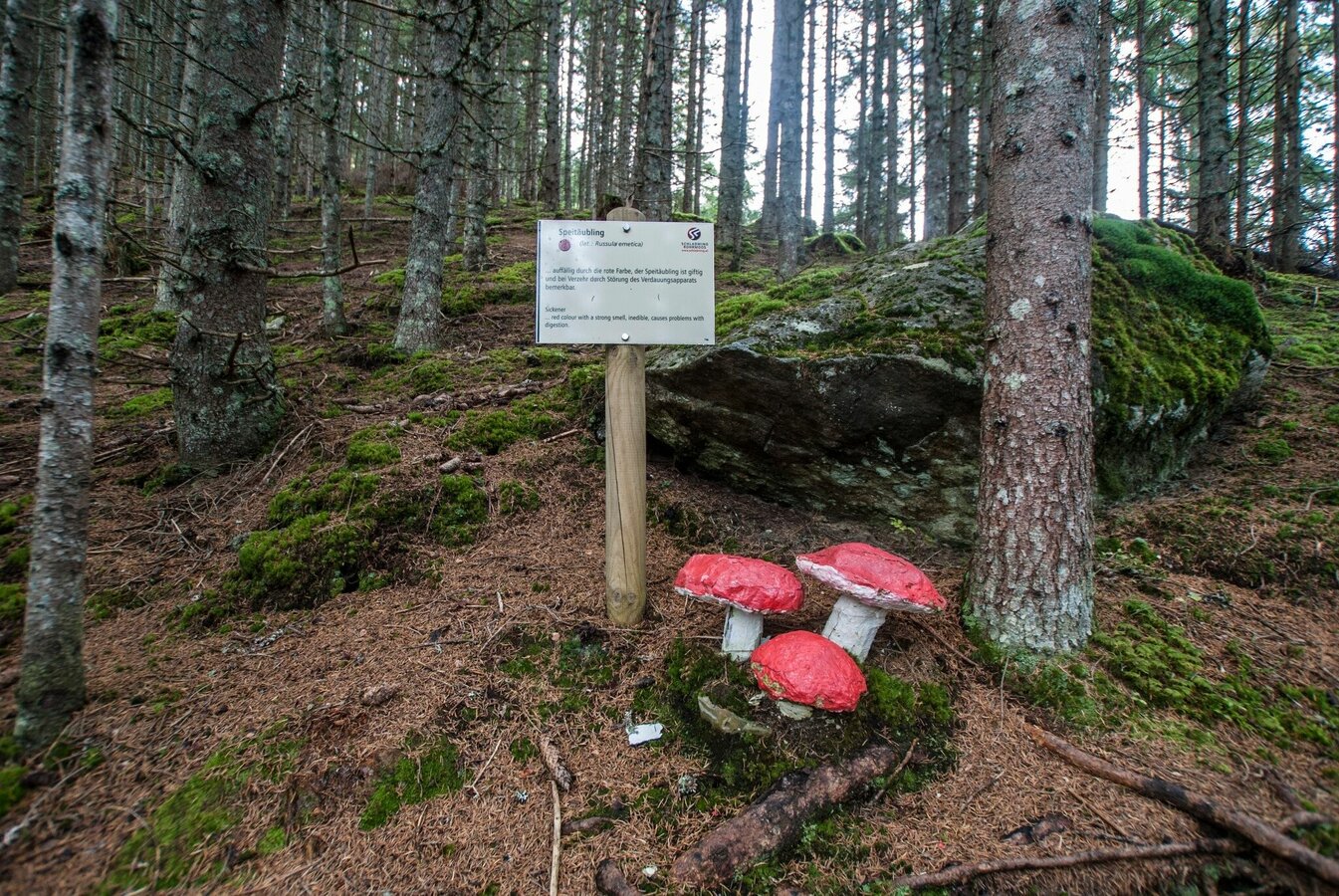
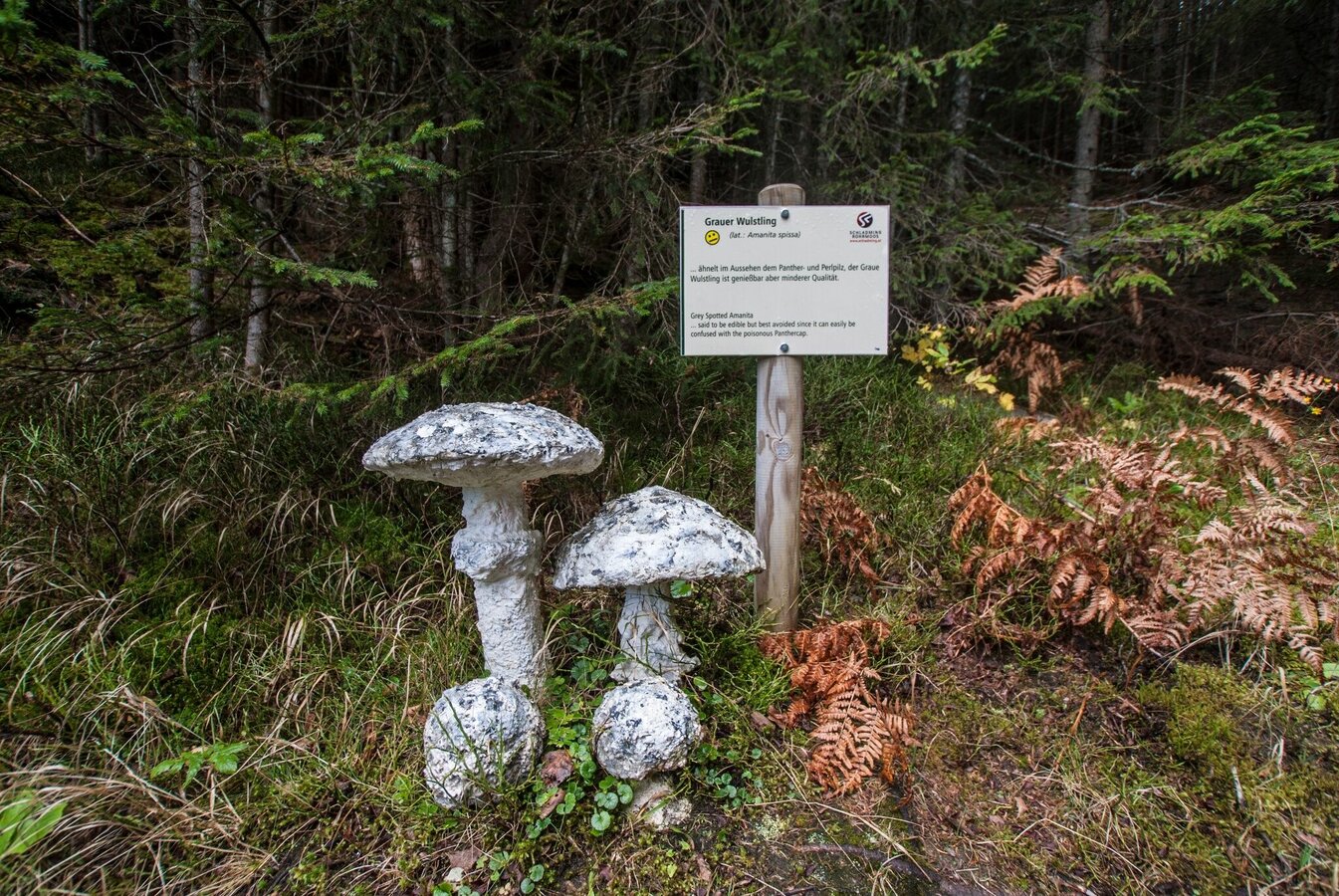
Mushroom Nature Trail
Themed walks · Schladming
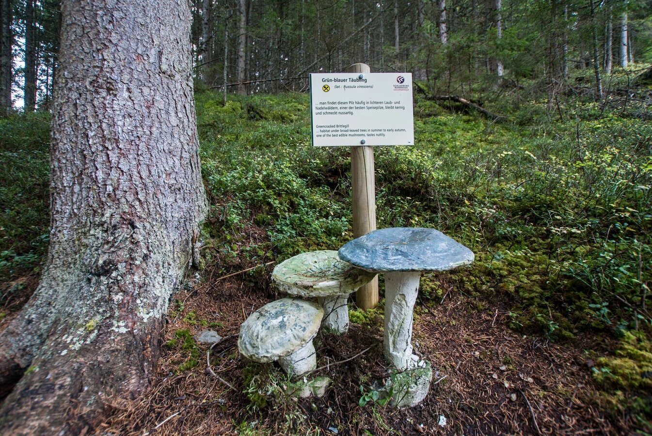
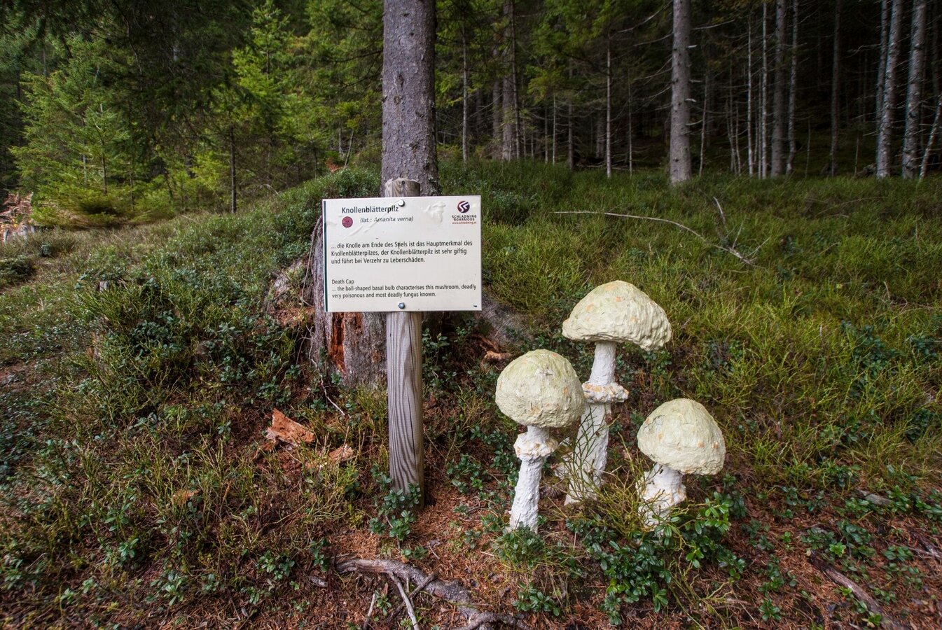
Family-friendly trail (also suitable for prams) in Rohrmoos with information about the local mushrooms. Illustrated signs teach us all kinds of interesting facts about native mushrooms. The route runs mainly through the forest along well-maintained forest paths that are suitable for buggies. Parking and toilets are available at the valley terminal of Gipfelbahn Hochwurzen cable car, where you can also get some refreshments at Familienhotel Austria.
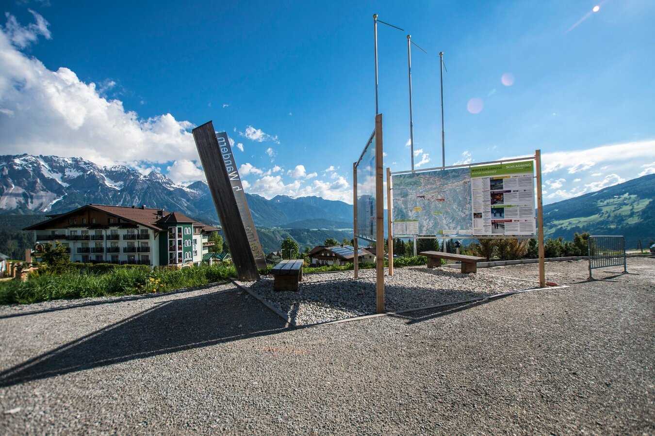
Fotogalerie
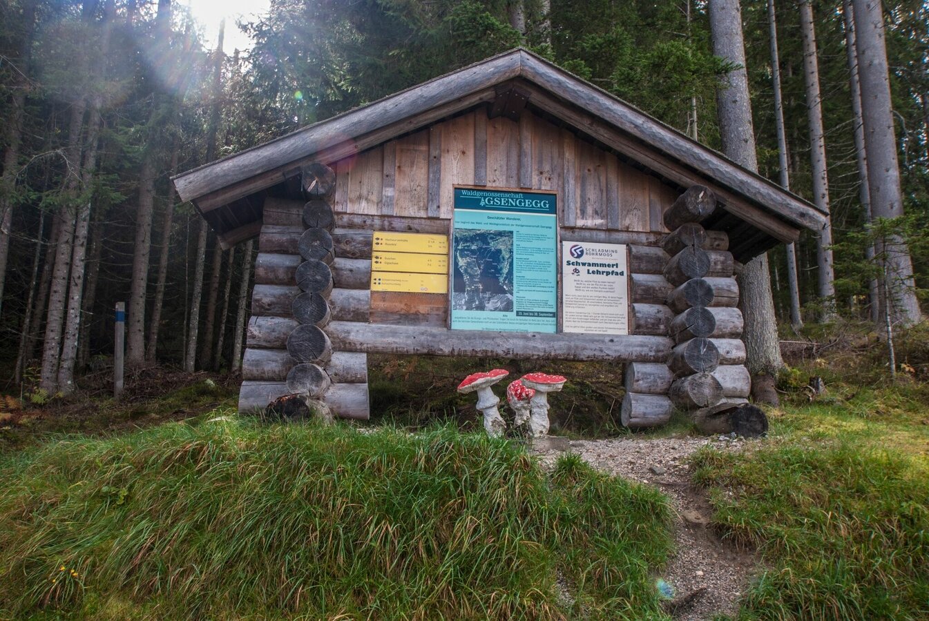
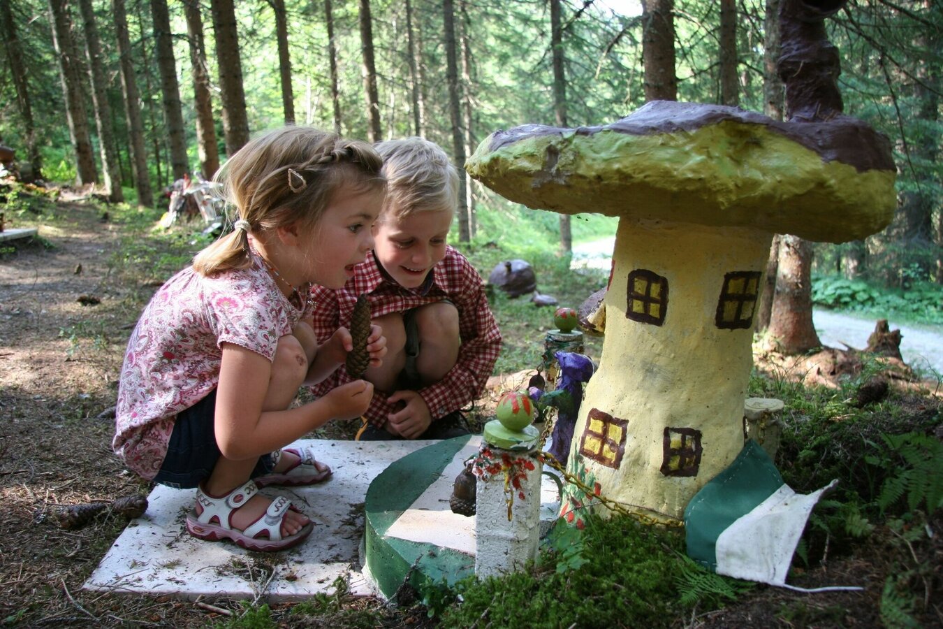
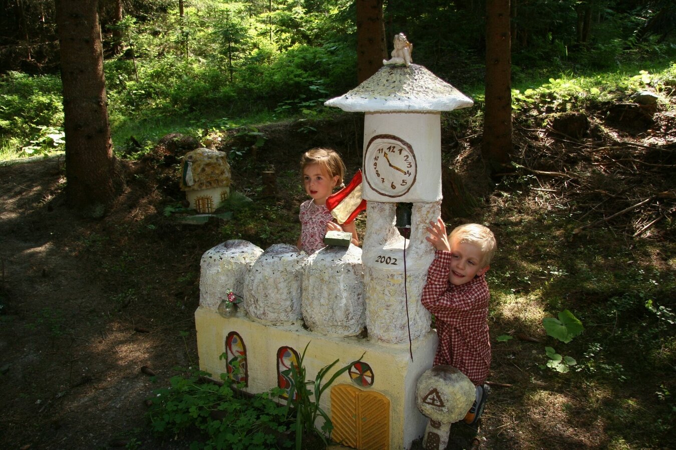
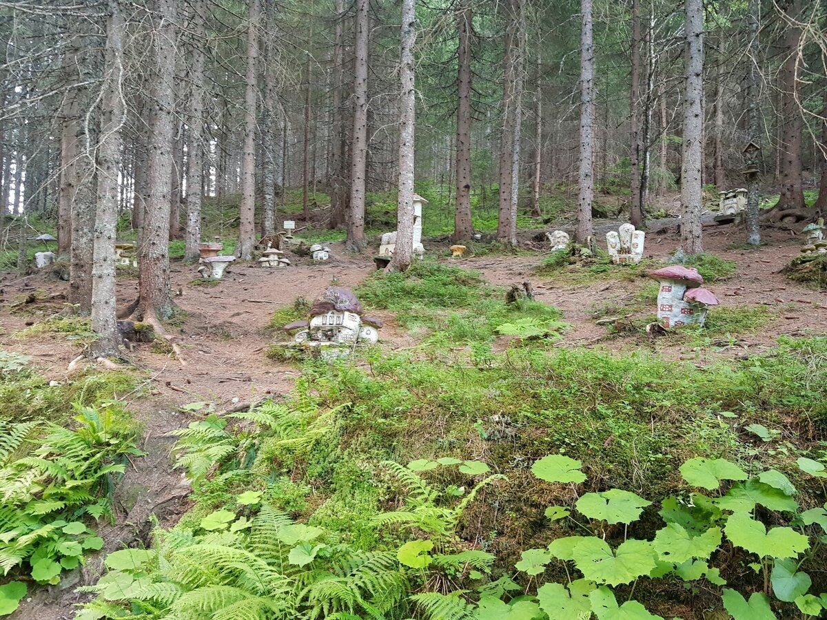
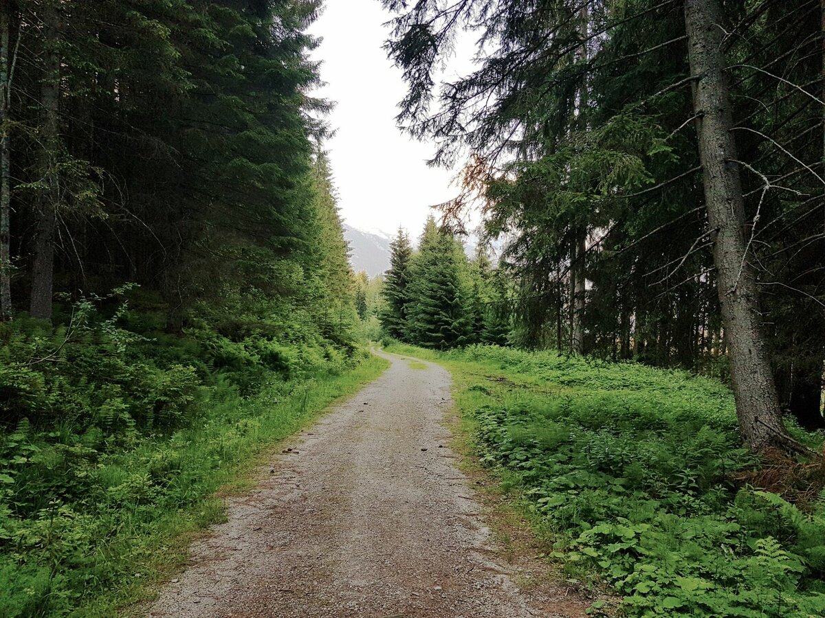


Vom Wanderportal wanderst du links vorbei am Sport-Shop Schi Lenz in Richtung Forstweg. Diesem folgst du für ca. 250 m und zweigst dann links auf den Schwammerlweg ab. Ein schöner, breiter Weg führt dich über die Skipiste und durch eine schöne Waldpassage bis zur Schwammerlstadt, die bei Kindern besonders beliebt ist.
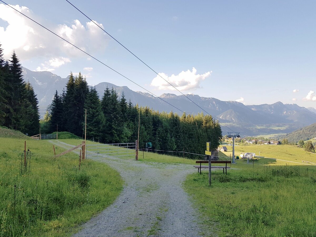
Über den Forstweg wanderst du nun nach Norden in Richtung Rohrmooser Frei und entlang der Rohrmoosstraße zurück zum Ausgangspunkt.
- Buses of Planai-Hochwurzen-Bahnen: www.planaibus.at
Changes in weather patterns, quick falls in temperature, thunderstorms, wind, fog and snow are some of the dangers that can be encountered on a hiking tour. Hosts of alpine huts and mountain refuges have a lot of experience in the mountains and can give good advice about weather and the trails. Poor equipment, overestimation of one's own capabilities, carelessness, poor personal constitution and/or wrong judgement can lead to critical situations. In case of thunderstorms: avoid summits, ridges and steel ropes.
GPS data and orienteering
Available GPS data - just like hiking maps - is only a guidance for orientation and can never depict a trail exactly with all its details. Especially at dangerous spots it is essential to judge on site how to proceed.
In an emergency please call:
- 140 - for Alpine emergencies (all over Austria)
- 112 - European GSM emergency number
Hiking or trekking shoes with grip sole, jacket.
The trail is also suitable for prams.
Tourismusinformation: www.schladming.com
Infos über Busse und Gondelbahnen: www.planai.at
- Wanderkarte Schladming, 1:25.000, erhältlich im Tourismusverband Schladming.
- "Wandern - Laufen - Walken" - erhältlich beim Tourismusverband Schladming.


