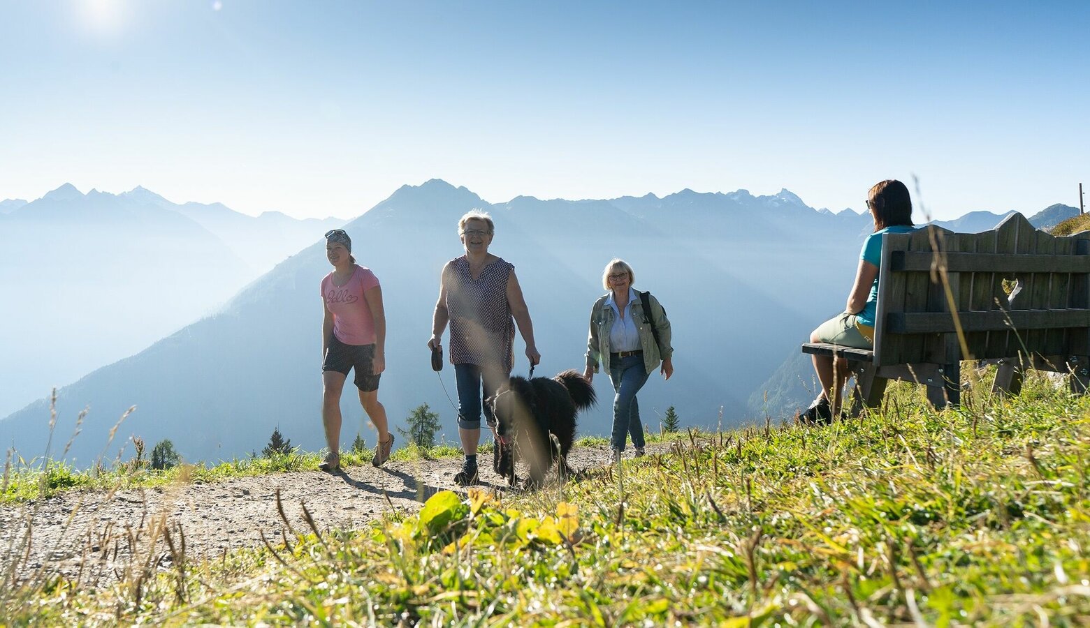
Bankerlweg
Hiking · Schladming
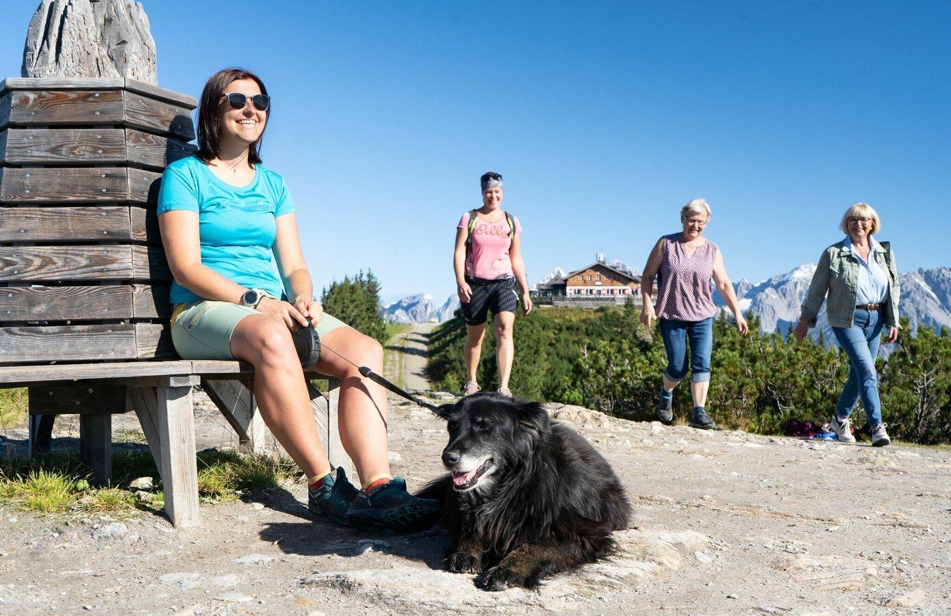
Hochwurzen and the "Bankerlweg" are the perfect location for enjoying the views from a summit, taking a walk in alpine surrounding and having a rest on one of numerous benches ("Bankerl" in the Styrian idiom).
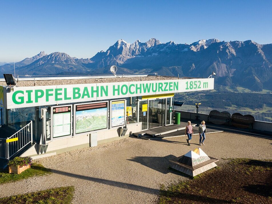
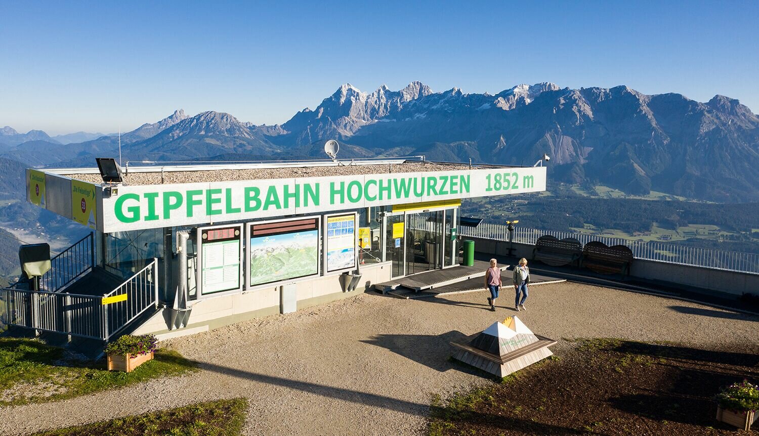
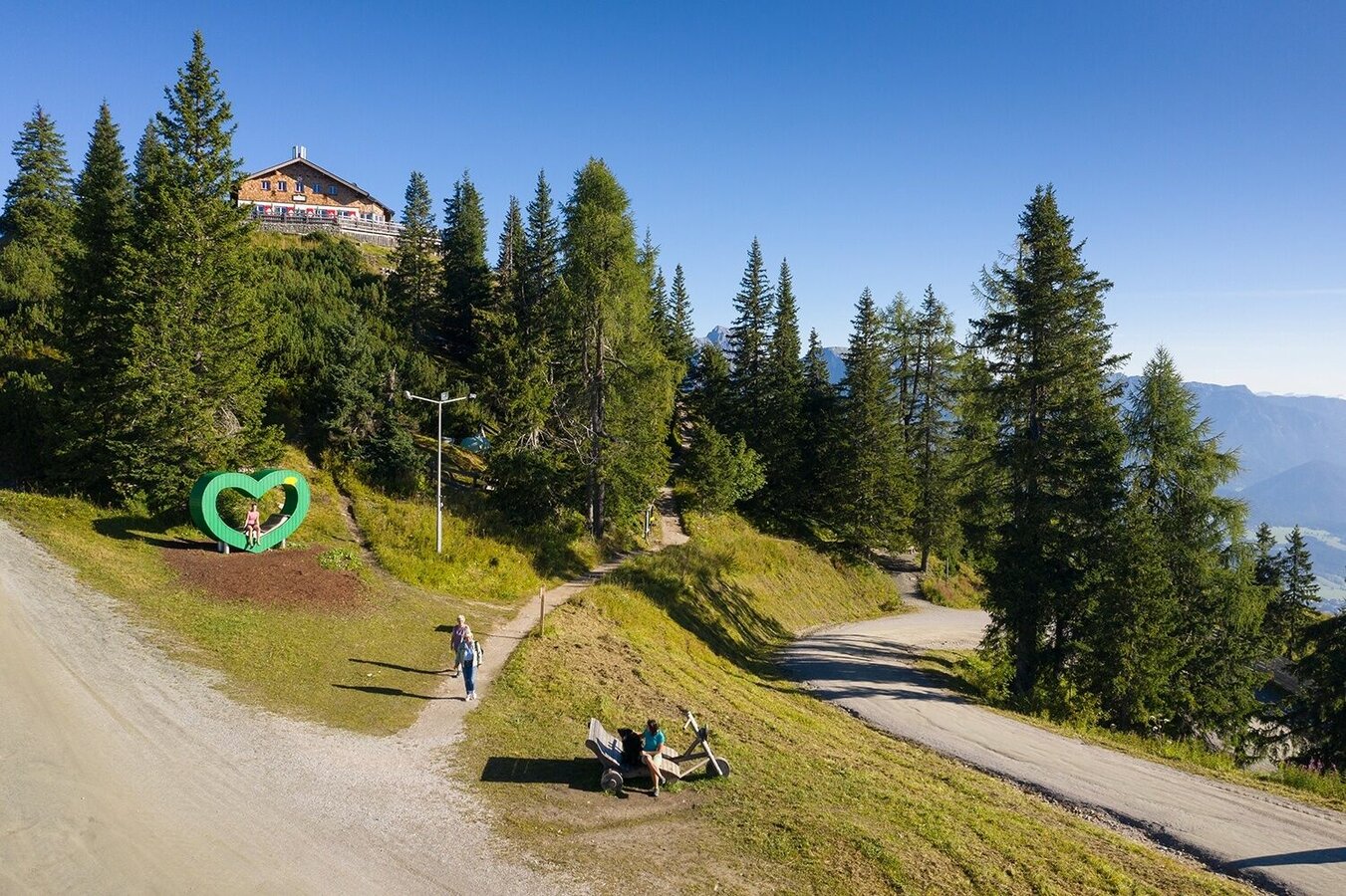
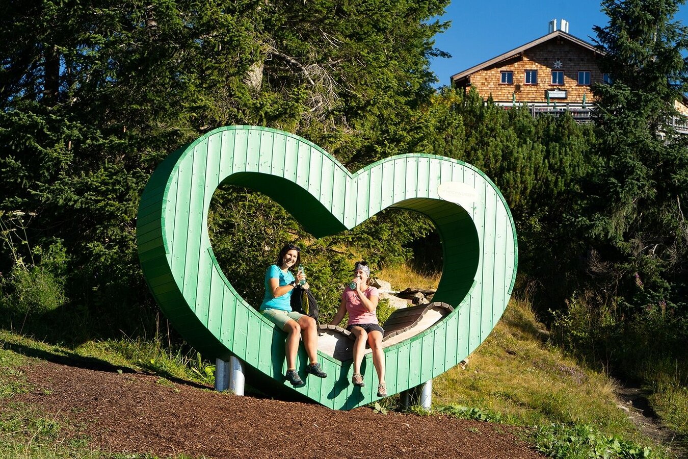
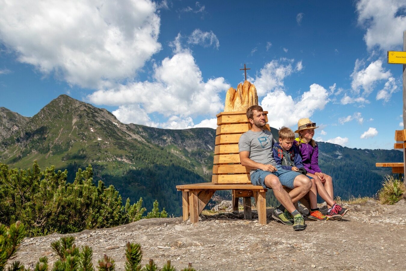
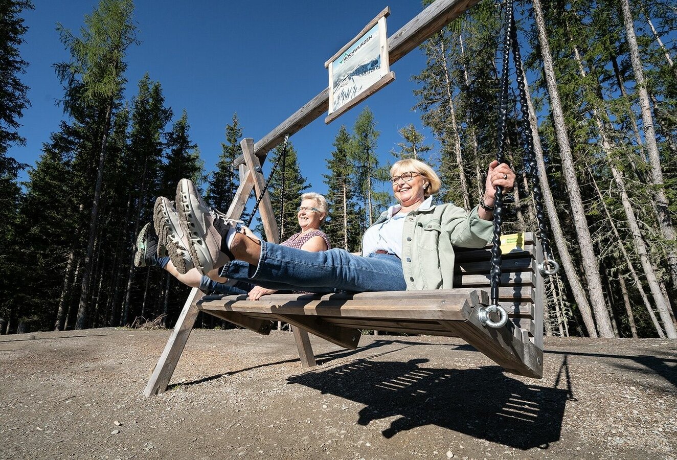
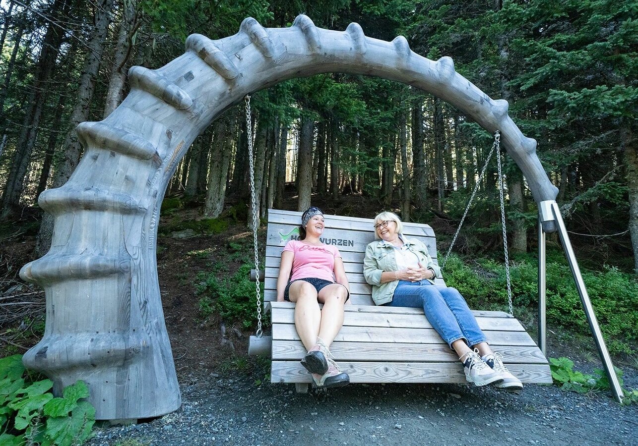
At Hochwurzen, the trails between Hochwurzenhütte and Hüttecksattel mountain saddle have a new attraction since summer 2019. With the Gipfelbahn Hochwurzen cable-car you get to the summit easily, where the "Bankerlweg" trailhead is situated. Along the trail there are many resting areas with over 20 fancy and unusual benches, such as the "Bench for Lovers" or the "Bench for Families", which invite you to take a seat and have a rest in the middle of nature.
Planai-Hochwurzen-Bahnen are very proud that many of the benches were created by their own staff, who developed creative ideas and turned them into reality. On top of the various benches there are wood carved animal sculptures along the trail, informing about local animal wild life.
Fotogalerie
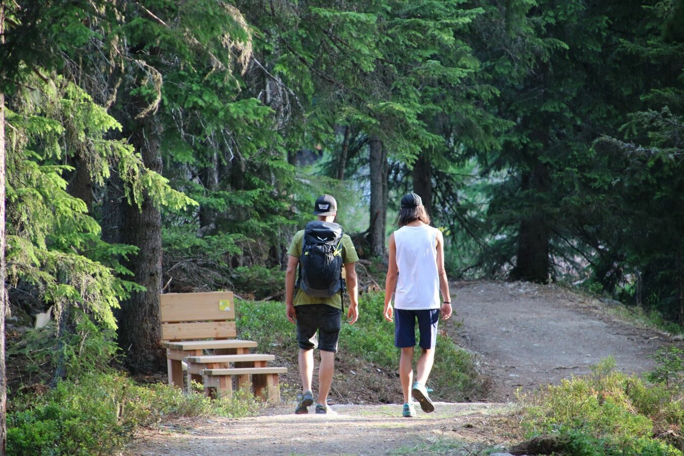


"Bankerlweg" takes you to Hüttecksattel mountain saddle and back to Hochwurzenhütte along the small Hochwurzen loop (Kleiner Hochwurzenrundweg) or large Hochwurzen loop (Großer Hochwurzenrundweg). "Bankerlweg" has its own trail signs.
From the trailhead at Hochwurzenhütte you start East and walk down along the first benches, passing by under Hochwurzenhütte and taking you to the 2nd hairpin of the Hochwurzenstraße road - just a few meters from the Hochwurzenalm chalet. From here you follow the Hochwurzenstraße road downhill to the next hairpin bend where the small and large Hochwurzen loops branch off.
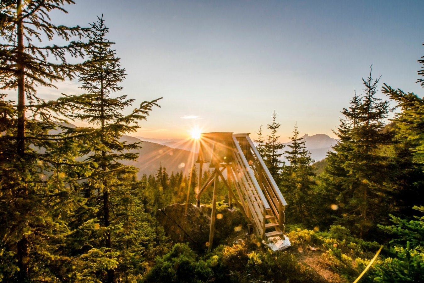
Along the wide trail you follow the signage to Hüttecksattel, which is the mountain saddle just before the trail starts to ascend towards Rossfeld - the neighbouring summit south of Hochwurzen. Make a right there and follow the signs along the large Hochwurzen loop, bringing you to viewing platform with great panoramic views to Preuneggtal and neighbouring Reiteralm.
Here the trail meets with the upper section of 4-seasons trail and you start walking slightly uphill again, reaching the mountain saddle again after just a few minutes. You can now choose to either walk back the route you came or to take the variant via "Kleine Wurzen" summit. For this option - which is not suitable for prams - you follow the trail signs indicating "Kleiner Hochwurzenrundweg".
In the town of Schladming you can take the Citybus. From Schladming or Rohrmoos take the Planai bus (Planet-Planai, Rathausplatz or Lendplatz) to Obertal the valley terminal of the Gipfelbahn Hochwurzen cable-car. There are around 15 connections per day.
Citybus and buses of Planai-Hochwurzen-Bahnen: www.planaibus.at
Changes in weather patterns, quick falls in temperature, thunderstorms, wind, fog and snow are some of the dangers that can be encountered on a hiking tour. Hosts of alpine huts and mountain refuges have a lot of experience in the mountains and can give good advice about weather and the trails. Poor equipment, overestimation of one's own capabilities, carelessness, poor personal constitution and/or wrong judgement can lead to critical situations. In case of thunderstorms: avoid summits, ridges and steel ropes.
GPS data and orienteering
Available GPS data - just like hiking maps - is only a guidance for orientation and can never depict a trail exactly with all its details. Especially at dangerous spots it is essential to judge on site how to proceed.
In an emergency please call:
- 140 - for Alpine emergencies (all over Austria)
- 112 - European GSM emergency number
Hiking or trekking shoes with grip sole, jacket.
The trail variant along "4 seasons trail" is also suitable for prams.
Tourist information: www.schladming.com
Information about bus schedules: www.planaibus.at
Information about cable-car hours: www.planai.at
Tourist map "Hiking - Running - Walking", available at the tourist office Schladming.
Hiking map Schladming, 1:25.000, available at the tourist office Schladming.
Tourist map "Hiking - Running - Walking", available at the tourist office Schladming.


